Activity: Trail_running | Difficulty: Moderate | Location: California, USA
Embark on a 12.5km trail run through the breathtaking Yosemite Valley, where moderate elevation gains of 850m reward you with stunning vistas of iconic granite cliffs and cascading waterfalls. The well-marked path, dotted with scenic viewpoints and a thrilling high point, offers a perfect blend of challenge and beauty, making it ideal for outdoor enthusiasts seeking to immerse themselves in nature's grandeur. Whether you're a seasoned trail runner or a dedicated hiker looking to pick up the pace, this adventure is a must-do for anyone craving the spectacular landscapes of California's national parks.
Adventure Statistics
- Distance: 12.5km
- Duration: 5h 0m
- Elevation Gain: 850m
- Max Elevation: 1200m
- Calories Burned: 1400
- Best Seasons: Spring, Summer, Fall
- Features: Viewpoint, Summit
Photos

Location Overview
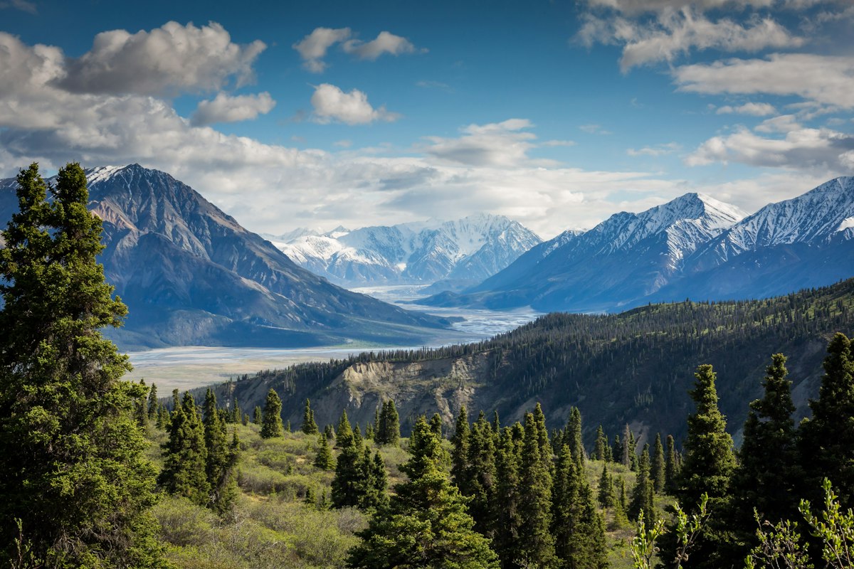
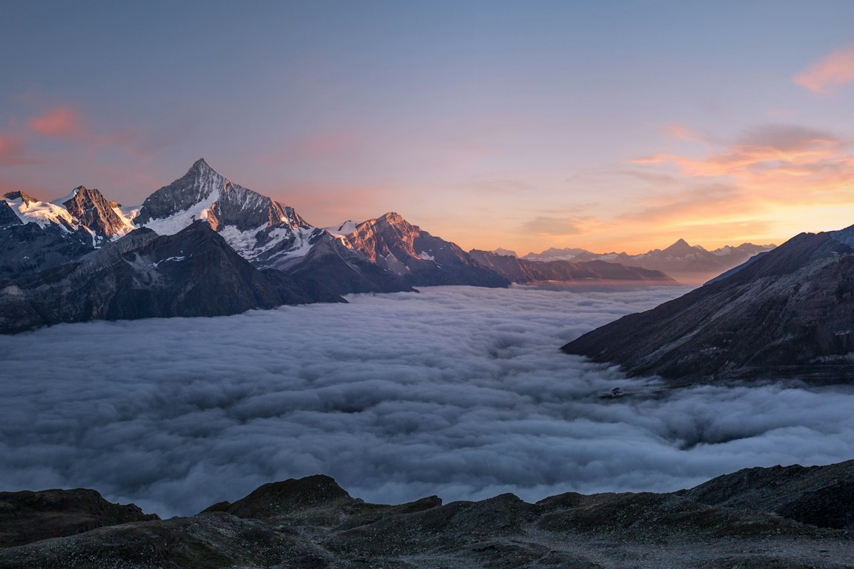
Yosemite Valley is situated in the heart of the Sierra Nevada mountain range in California. This glacially-carved valley features dramatic granite cliffs, lush meadows, and vibrant forests. Surrounded by towering peaks, the valley is a prime destination for outdoor enthusiasts, offering a myriad of recreational opportunities year-round. The landscape is characterized by its breathtaking vistas, including the iconic formations of El Capitan and Half Dome, which rise majestically above the valley floor. The area is also home to diverse ecosystems, making it a haven for wildlife and plant species. With its stunning scenery and rich geological history, Yosemite Valley provides an unparalleled backdrop for outdoor adventures.
Key Points of Interest
1. Start Point - The trailhead at Yosemite Valley floor, surrounded by iconic views.
2. Yosemite Falls - The tallest waterfall in North America, a must-see landmark.
3. Merced River Crossing - A scenic spot to rest and enjoy the river's beauty.
4. Scenic Viewpoint - A high point offering breathtaking vistas of the valley and granite cliffs.
5. End Point - The return point at the trailhead, completing a rewarding run.
Route Waypoints
- Yosemite Falls: The tallest waterfall in North America.
- Scenic Viewpoint: A high vantage point with stunning valley views.
- High Point: The summit that offers panoramic views.
Getting to the Start
To reach the start point near 37.7456, -119.5936, visitors can drive to Yosemite National Park via Highway 140 or Highway 120. The nearest town is Mariposa, about 30 miles away, where parking is available. Once inside the park, ample parking is provided at Yosemite Valley. Public transport options include the YARTS (Yosemite Area Regional Transportation System) bus service, which connects to various locations including Merced, where Amtrak service is available. Be sure to check the bus schedules for seasonal operations.
Tips, Safety & Travel
Essential kit includes trail running shoes, hydration packs, energy gels, and a map or GPS device. Safety tips: stay on marked trails, be aware of wildlife, and prepare for changing weather conditions. The best season for this trail run is spring to fall, when the weather is mild and the scenery is vibrant. In case of emergencies, contact the National Park Service at (209) 372-0200 for assistance.
Wildlife & Nature Highlights
Along the Yosemite Valley Floor Trail Run, adventurers can expect to encounter a variety of wildlife, including black bears, mule deer, and numerous bird species such as the peregrine falcon and Steller's jay. The trail also boasts diverse flora, including giant sequoias, wildflowers, and lush grasses. Geological features include stunning granite formations and glacially polished rocks that tell the story of the valley's formation.
Tags
- Yosemite
- trail running
- outdoor adventure
- California
- national park