Activity: Hiking | Difficulty: Moderate | Location: Highlands, Scotland
Embark on a memorable journey up Scotland's iconic Ben Nevis, where a moderate 10-kilometer trail leads you through rugged terrain and stunning panoramas. As you ascend 1,000 meters over approximately 10 hours, you’ll be rewarded with breathtaking views from the summit, making it an unforgettable experience for avid hikers and nature lovers alike. Ideal for those seeking a challenging yet accessible adventure, this hike showcases the majestic beauty of the Highlands in spring, summer, or fall.
Adventure Statistics
- Distance: 10.0km
- Duration: 10h 0m
- Elevation Gain: 1000m
- Max Elevation: 1345m
- Calories Burned: 1500
- Best Seasons: Spring, Summer, Fall
- Features: Viewpoint, Summit
Photos
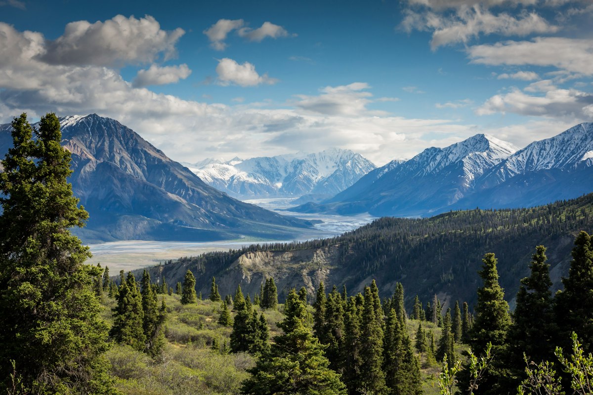

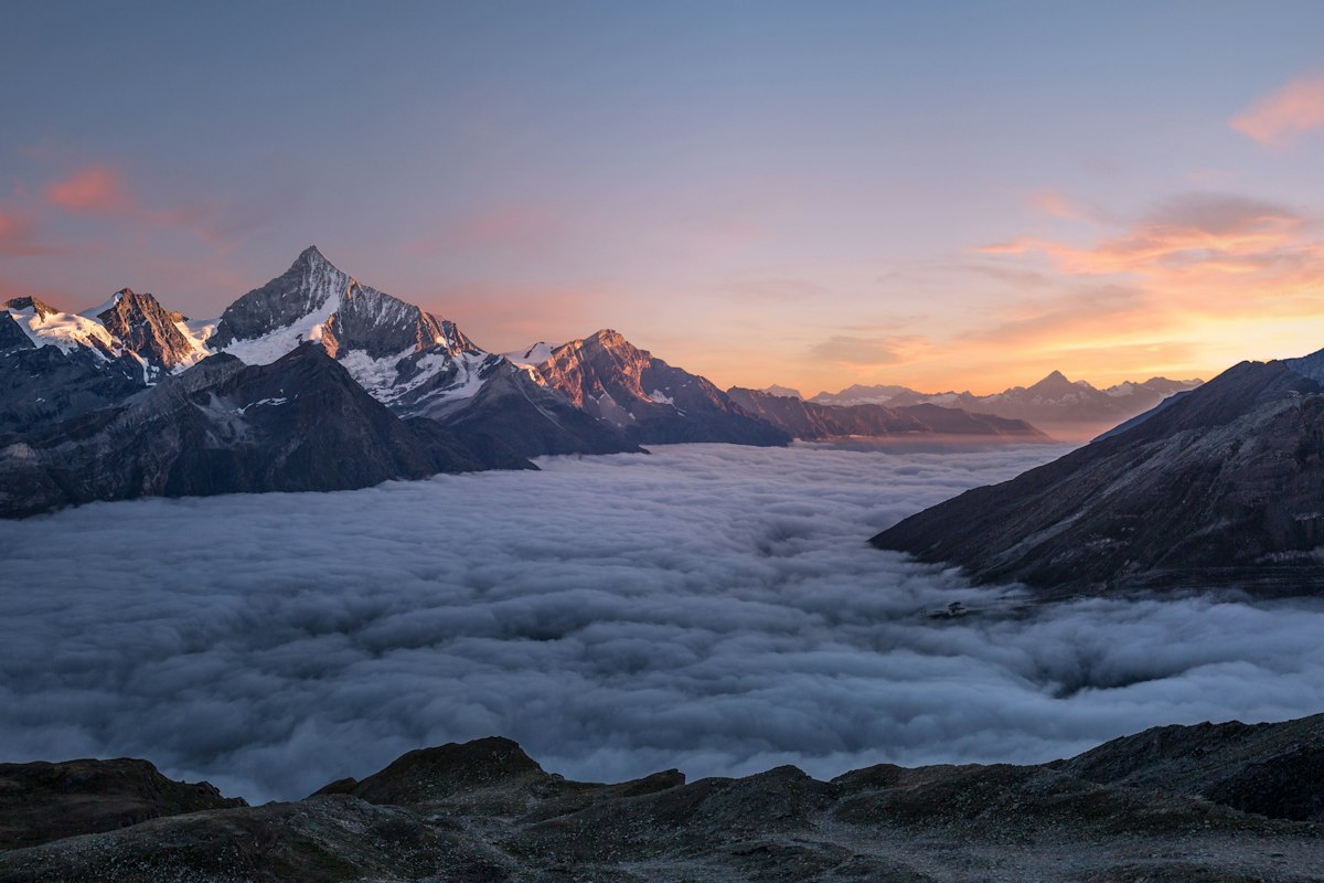
Location Overview
Ben Nevis is located in the Scottish Highlands, near the town of Fort William. The mountain is part of the Grampian Mountain range and is known for its dramatic landscapes and varied weather conditions. The surrounding area features lush green valleys, cascading waterfalls, and rugged cliffs, providing a stunning backdrop for hikers. The terrain can be challenging, with rocky paths and steep inclines, but the breathtaking views make every step worthwhile. The landscape is rich in biodiversity, with a variety of flora and fauna that thrive in this unique environment.
Key Points of Interest
1. Start Point - Trailhead near the Visitor Centre.
2. First Landmark - Beginning of the Mountain Track with initial views.
3. Scenic Viewpoint - A breathtaking lookout point along the route.
4. Summit - The highest point in the UK with panoramic views.
5. End Point - Return point to the Visitor Centre.
Route Waypoints
- First Landmark: Beginning of the Mountain Track with initial views.
- Scenic Viewpoint: A breathtaking lookout point where you can take in the vast landscapes.
- High Point: The summit of Ben Nevis, offering panoramic views of the surrounding highlands.
Getting to the Start
To reach the start point of the Ben Nevis Summit Route, head to the town of Fort William, which is approximately 6 miles away. From Fort William, take the A82 north and then the A86 to the Ben Nevis Visitor Centre. There is ample parking available nearby, but it can fill up quickly during peak season. Public transport options include local buses that operate between Fort William and the Visitor Centre, making it accessible for those relying on public transport.
Tips, Safety & Travel
Ensure you pack essential hiking gear, including sturdy boots, waterproof clothing, and plenty of water. A map and compass are also recommended, as weather conditions can change rapidly. The best season for hiking this route is between late spring and early fall when the weather is more stable. Always check local weather forecasts before your hike. For emergencies, contact local authorities or dial 999 for mountain rescue services in the Highlands.
Wildlife & Nature Highlights
As you hike the Ben Nevis Summit Route, keep an eye out for a diverse range of wildlife. You may encounter red deer grazing in the valleys, and if you're lucky, you might spot golden eagles soaring above the cliffs. The area is also home to unique plant species, including mountain avens and alpine willow, which thrive in the harsh conditions of the highlands. The geological features along the route showcase ancient rock formations and glacial landscapes, adding to the area's natural beauty.
Tags
- Ben Nevis
- hiking
- outdoor adventure
- Scotland
- summit