Activity: Trail_running | Difficulty: Moderate | Location: Western Cape, South Africa
The Table Mountain Contour Path offers trail runners a breathtaking journey through varied terrains, including rocky paths and lush vegetation, with a moderate challenge that features a rewarding 850-meter elevation gain. As you navigate this stunning 12.5-kilometer route, be captivated by panoramic views from scenic viewpoints and the exhilarating feeling of reaching the high point, where the beauty of the Western Cape unfolds beneath you. Ideal for outdoor enthusiasts and nature lovers alike, this trail beckons those looking to blend fitness with the awe-inspiring landscapes of South Africa's iconic Table Mountain.
Adventure Statistics
- Distance: 12.5km
- Duration: 4h 10m
- Elevation Gain: 850m
- Max Elevation: 1200m
- Calories Burned: 1300
- Best Seasons: Spring, Summer, Fall
- Features: Viewpoint, Summit
Photos
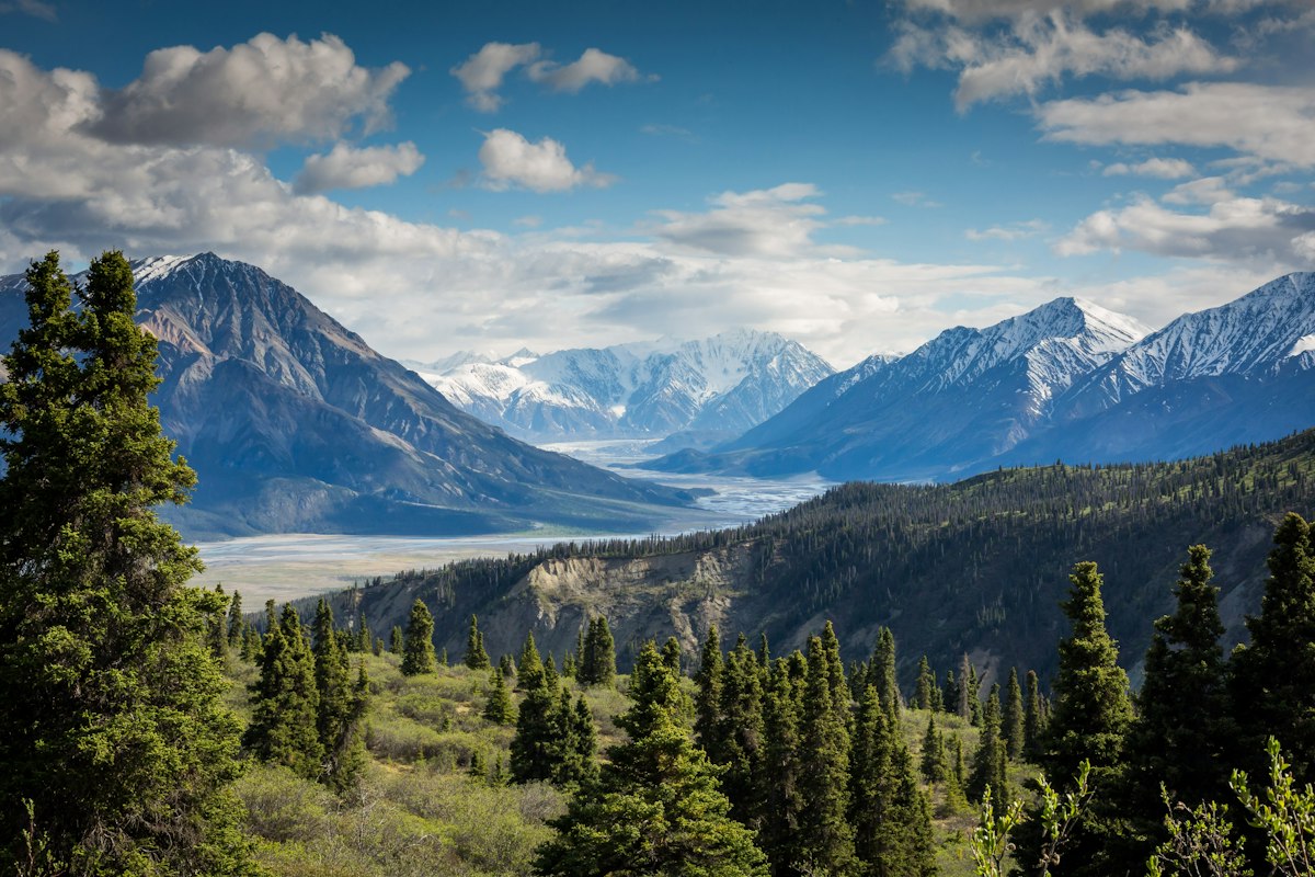


Location Overview
Nestled in the heart of Cape Town, Table Mountain is a flat-topped mountain that is part of the Table Mountain National Park. This UNESCO World Heritage Site is characterized by its steep cliffs, unique biodiversity, and sweeping views of the city and surrounding ocean. The landscape is a blend of rugged terrain and vibrant flora, including the renowned fynbos vegetation, which is unique to the region. The mountain rises dramatically from the city, creating a stunning backdrop that is both iconic and awe-inspiring. The Contour Path meanders along the slopes, allowing for an immersive experience of this natural wonder.
Key Points of Interest
1. Start Point - Trailhead near the cableway station.
2. First Landmark - A rocky outcrop with stunning views.
3. Scenic Viewpoint - Perfect spot for photos overlooking the coastline.
4. High Point - The summit offering panoramic views of Cape Town.
5. End Point - Return to the starting trailhead.
Route Waypoints
- First Landmark: First notable point
- Scenic Viewpoint: What you can see
- High Point: Summit or key feature
Getting to the Start
To reach the start point of the Table Mountain Contour Path Run at coordinates -33.9625, 18.4097, you can drive to the Table Mountain Aerial Cableway station located on Tafelberg Road. There is ample parking available on site, though it can fill up quickly during peak tourist seasons. Alternatively, public transport options include the MyCiTi bus service, which has routes from the city center to the cableway station. Be sure to check the bus schedules for the latest updates.
Tips, Safety & Travel
It's essential to carry enough water, wear appropriate trail running shoes, and dress in layers as weather conditions can change rapidly. The best seasons for this run are spring and fall when temperatures are mild and the flora is in bloom. Always inform someone of your plans and consider carrying a map or GPS device. In case of emergencies, contact local authorities at +27 21 480 7700.
Wildlife & Nature Highlights
The Table Mountain Contour Path is home to an array of wildlife, including the endemic Cape Peninsula baboon and various bird species such as the Rock Hyrax and the Cape Sugarbird. The area is rich in unique flora, with over 1,500 species of plants, many of which are found nowhere else on earth. The geological features of the mountain include sandstone formations and granite outcrops that tell the story of millions of years of natural history.
Tags
- Table Mountain
- trail running
- South Africa
- outdoor adventure
- nature