Activity: Hiking | Difficulty: Moderate | Location: Loch Lomond, Scotland
Embark on a moderate 13-kilometer hike up Ben Lomond, where you’ll navigate rocky paths and lush glens, culminating in breathtaking panoramic views from the summit at 974 meters. With an elevation gain of 900 meters, this adventure beckons both seasoned hikers and enthusiastic newcomers eager to immerse themselves in the stunning scenery of Loch Lomond. Ideal for those seeking a memorable outdoor experience, the trail rewards your efforts with its sweeping vistas and a sense of accomplishment that lingers long after the descent.
Adventure Statistics
- Distance: 13.0km
- Duration: 6h 40m
- Elevation Gain: 900m
- Max Elevation: 974m
- Calories Burned: 1500
- Best Seasons: Spring, Summer, Fall
- Features: Viewpoint, Summit
Photos
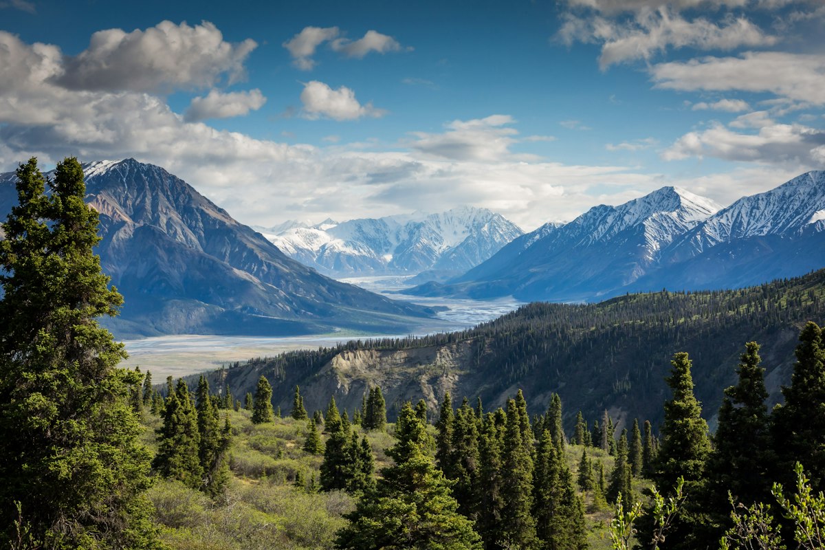


Location Overview
Ben Lomond is located on the eastern shore of Loch Lomond in Scotland, within the stunning Trossachs National Park. The area is characterized by dramatic landscapes, including rolling hills, rugged mountains, and serene waters. The mountain itself stands as a prominent feature, offering breathtaking views of the surrounding countryside and the loch, which is the largest body of freshwater in Great Britain. The landscape is rich in biodiversity, with a mix of coniferous forests and heather-covered moorland, making it a haven for nature lovers and outdoor enthusiasts alike. As you hike, the shifting scenery provides a captivating backdrop, with each turn revealing new vistas and natural beauty.
Key Points of Interest
1. Start Point: Trailhead at Rowardennan car park.
2. First Landmark: A scenic stop with views of Loch Lomond.
3. Scenic Viewpoint: A stunning overlook of the surrounding area.
4. High Point: The summit of Ben Lomond at 974 meters.
5. End Point: Return to the trailhead after conquering the mountain.
Route Waypoints
- First Landmark: First notable point
- Scenic Viewpoint: What you can see
- High Point: Summit or key feature
Getting to the Start
To reach the start point of the Ben Lomond hike, head to the nearest town, Balloch, located approximately 10 miles south of the trailhead. From Balloch, you can take a local bus to the Rowardennan car park, which is the starting point of the hike at coordinates 56.1949, -4.6386. Ample parking is available at the car park, but it can fill up quickly during peak season, so arriving early is recommended. If you’re traveling by public transport, check the local bus schedules for the most convenient routes and timings.
Tips, Safety & Travel
Essential kit includes sturdy hiking boots, weather-appropriate clothing, a map, compass, water, and snacks. Always check the weather forecast before heading out, as conditions can change rapidly in the mountains. The best season for hiking Ben Lomond is late spring to early autumn when the trails are dry and the views are clear. Emergency contacts for Loch Lomond include local ranger services and the nearest hospital in Balloch, which can be reached for any urgent situations.
Wildlife & Nature Highlights
The Ben Lomond hike is home to a variety of wildlife, including red deer, golden eagles, and a plethora of bird species. The area is rich in flora, featuring heather, bilberry, and various species of ferns. The geological features along the route, such as ancient volcanic rock formations and glacial deposits, add an interesting element to the landscape, making it a fascinating area for nature enthusiasts and geology buffs.
Tags
- hiking
- Scotland
- Ben Lomond
- outdoor adventure
- Loch Lomond