Activity: Hiking | Difficulty: Moderate | Location: Eysturoy, Faroe Islands
Embark on a moderate yet exhilarating 12.5km hike to the majestic summit of Slaettaratindur, where dramatic cliffs and lush valleys of Eysturoy unfold beneath your feet. With an elevation gain of 850m, the trail rewards your efforts with breathtaking panoramic views that showcase the Faroe Islands' rugged beauty, making it a perfect challenge for outdoor enthusiasts seeking a memorable experience in spring, summer, or fall. Ideal for those with a passion for nature and a desire to conquer stunning landscapes, this adventure promises both a satisfying workout and unforgettable vistas.
Adventure Statistics
- Distance: 12.5km
- Duration: 5h 0m
- Elevation Gain: 850m
- Max Elevation: 880m
- Calories Burned: 1400
- Best Seasons: Spring, Summer, Fall
- Features: Viewpoint, Summit
Photos


Location Overview
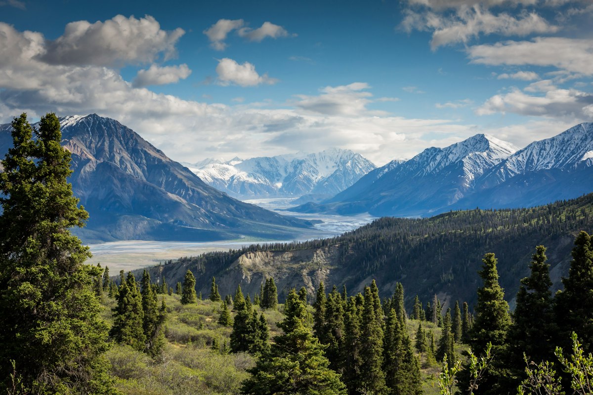
The Faroe Islands, an archipelago located between the Norwegian Sea and the North Atlantic Ocean, are renowned for their dramatic landscapes, quaint villages, and rich cultural heritage. Eysturoy, one of the largest islands in the group, boasts some of the highest peaks and most stunning views. The Slaettaratindur, the highest peak in the islands, rises prominently at 880 meters, offering a breathtaking vantage point overlooking the majestic cliffs, rolling hills, and expansive ocean that characterize this unique region. The trails around Eysturoy are a hiker's paradise, with diverse terrains ranging from lush valleys to rocky summits.
Key Points of Interest
1. Start Point - Trailhead near Eiði
2. First Landmark - Rocky outcrop with panoramic views
3. Scenic Viewpoint - Stunning cliffs and ocean vistas
4. High Point - Slaettaratindur Summit at 880 meters
5. End Point - Return to the trailhead
Route Waypoints
- First Landmark: First notable point
- Scenic Viewpoint: What you can see
- High Point: Summit or key feature
Getting to the Start
To reach the Slaettaratindur trailhead, head to the village of Eiði, located approximately 30 km from the capital, Tórshavn. From Tórshavn, take Route 10 towards Eiði, where you'll find parking facilities near the start point at coordinates 62.2522, -7.0044. Public transport options are available, with buses running from Tórshavn to Eiði, but check local schedules for the most accurate timings. The trailhead is easily accessible from the village, making it a convenient starting point for your adventure.
Tips, Safety & Travel
Essential kit includes sturdy hiking boots, waterproof clothing, and a good backpack. Always carry enough water and snacks to sustain your energy. The best seasons for hiking Slaettaratindur are spring, summer, and early fall when the weather is milder and more stable. Be mindful of rapidly changing weather conditions in the Faroe Islands, and check forecasts before heading out. In case of emergencies, contact local authorities at +298 112 for immediate assistance.
Wildlife & Nature Highlights
As you hike the Slaettaratindur trail, keep an eye out for the unique flora and fauna that thrive in this rugged landscape. The area is home to various bird species, including puffins and seabirds that nest along the cliffs. In spring and summer, bright wildflowers such as the Arctic bell heather and various mosses blanket the hillsides. Geological features like basalt columns and steep cliffs showcase the volcanic history of the islands, providing a fascinating insight into the region's formation.
Tags
- hiking
- Faroe Islands
- Eysturoy
- Slaettaratindur
- adventure