Activity: Hiking | Difficulty: Moderate | Location: Highlands, Iceland
The Laugavegur Hot Springs Trail is a moderate 12.5-kilometer hike through Iceland's Highlands, featuring varied terrain and stunning geothermal features.
Adventure Statistics
- Distance: 12.5km
- Duration: 2h 1m
- Elevation Gain: 850m
- Max Elevation: 1100m
- Calories Burned: 911
- Best Seasons: Summer, Fall
- Features: Hot_springs, Viewpoint, Summit, Lake, Volcanic_terrain, Wildlife_viewing
Photos
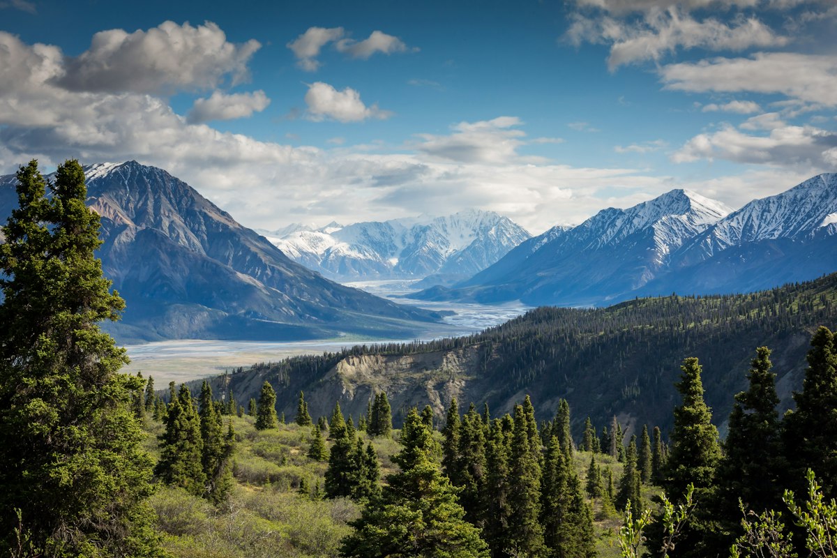

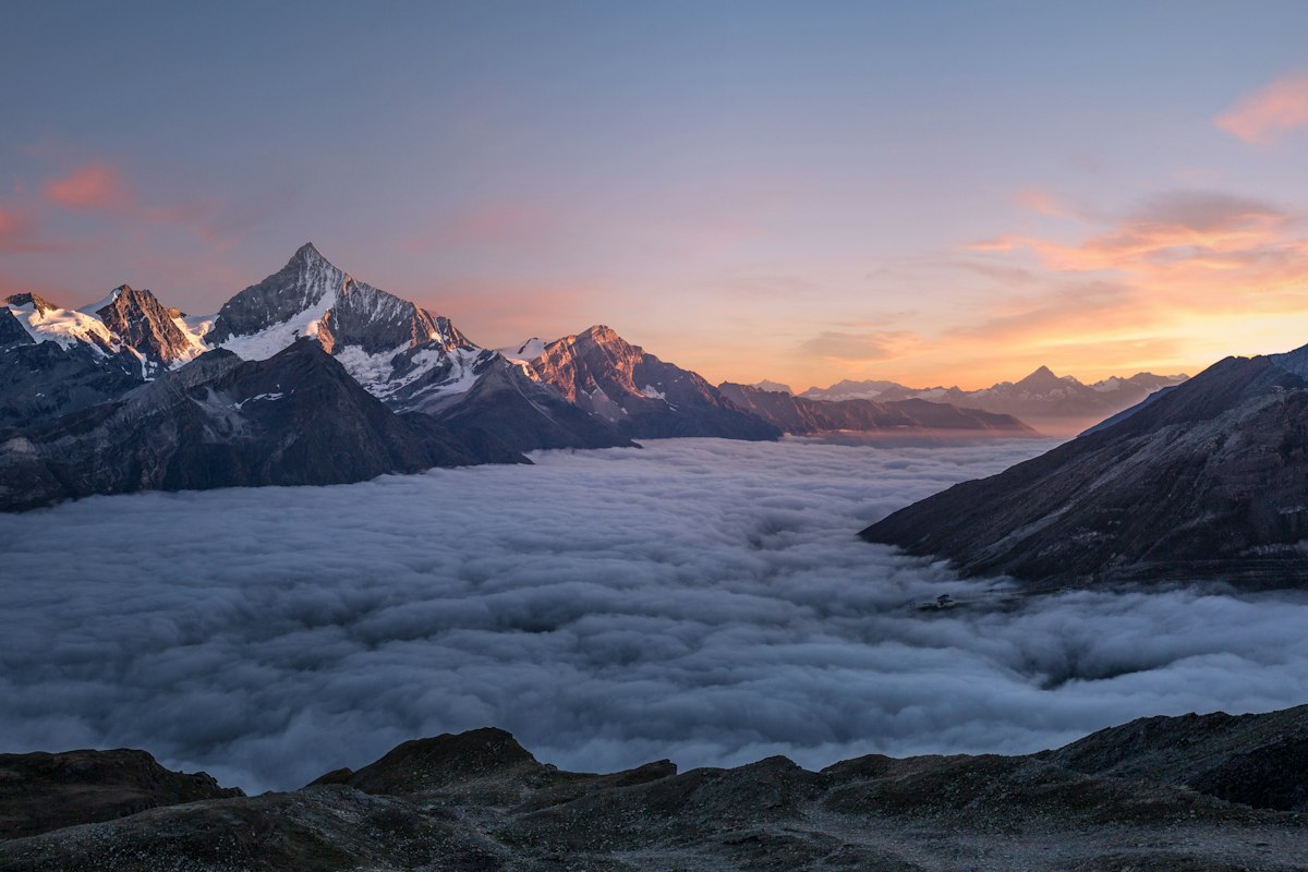
Location Overview
<p>The Laugavegur Hot Springs Trail is located in Iceland's Highlands, a vast and remote region known for its dramatic and untouched landscapes. The trail begins near Landmannalaugar, a geothermal area famous for its colorful rhyolite mountains and hot springs. The highlands are characterized by their rugged terrain, featuring vast lava fields, glacial rivers, and towering mountains. The landscape is a testament to Iceland's volcanic history, with evidence of ancient eruptions and ongoing geothermal activity visible throughout the area. The trail passes through a variety of ecosystems, from barren volcanic deserts to lush, moss-covered hills. This diversity makes the Laugavegur Hot Springs Trail a unique and unforgettable hiking destination, offering hikers a chance to explore the raw and untamed beauty of Iceland's interior.</p>
Key Points of Interest
<p><strong>1. Landmannalaugar Trailhead:</strong> The starting point of the trail, marked by a large parking area and information boards. The trailhead is surrounded by the colorful rhyolite mountains that define the area.</p><p><strong>2. Hrafntinnusker:</strong> A prominent black rhyolite mountain that offers panoramic views of the surrounding landscape. The trail passes close to its base, providing hikers with a chance to appreciate its unique geology.</p><p><strong>3. Stórasíða:</strong> A scenic viewpoint that offers a sweeping view of the Laugavegur valley and the surrounding mountains. This is a great spot for a short break and to take in the beauty of the highlands.</p><p><strong>4. Álftavatn:</strong> A small lake that is often shrouded in mist, adding to the mystical atmosphere of the trail. The lake is a popular spot for wildlife viewing and photography.</p><p><strong>5. Hattfellshólmar:</strong> A series of small hills that provide a gentle climb and offer views of the geothermal activity in the area. The hills are covered in a variety of mosses and lichens, creating a vibrant and colorful landscape.</p><p><strong>6. Bláhnúkur:</strong> A blue-tinted mountain that is a favorite among hikers for its unique color and the stunning views from its summit. The trail passes by the base of Bláhnúkur, offering hikers a chance to appreciate its beauty.</p>
Route Waypoints
- Hrafntinnusker: Prominent black rhyolite mountain with panoramic views.
- Stórasíða: Scenic viewpoint overlooking the Laugavegur valley.
- Álftavatn: Misty lake surrounded by mountains.
- Hattfellshólmar: Small hills with geothermal activity and colorful mosses.
Getting to the Start
<p>To reach the start of the Laugavegur Hot Springs Trail, the nearest town is Kirkjubæjarklaustur, located about 120 kilometers away. From Kirkjubæjarklaustur, take the Route 1 (Ring Road) north for about 50 kilometers, then turn onto Route 26, which leads directly to Landmannalaugar. The road to Landmannalaugar is a gravel road and can be challenging, especially during wet or snowy conditions. It is recommended to use a 4x4 vehicle or a high-clearance vehicle for the journey. There is a large parking area at the trailhead, which is well-marked and accessible. Public transport options are limited, but there are shuttle services available during the summer months that can take you directly to Landmannalaugar from Reykjavik or other major towns.</p>
Tips, Safety & Travel
<p>When planning your hike on the Laugavegur Hot Springs Trail, it's important to be well-prepared for the conditions and challenges of the highlands. Essential kit includes sturdy hiking boots, waterproof clothing, and layers for changing weather conditions. A map and compass or GPS device are highly recommended, as the trail can be challenging to navigate in poor visibility. It's also a good idea to carry a first-aid kit, plenty of water, and high-energy snacks. The weather in the highlands can be unpredictable, with strong winds, heavy rain, and sudden temperature drops, so it's important to check the forecast before setting out. The best season for hiking is from June to September, when the days are longer and the trails are more accessible. In case of an emergency, the Icelandic Search and Rescue (ICE-SAR) can be contacted by dialing 112. Always inform someone of your planned route and expected return time to ensure your safety.</p>
Wildlife & Nature Highlights
<p>The Laugavegur Hot Springs Trail is not only a haven for hikers but also a rich habitat for a variety of flora and fauna. The area is home to several species of birds, including the ptarmigan, a hardy bird that can be seen year-round in the highlands. During the summer months, the trail may also be visited by arctic terns and golden plovers, which nest in the surrounding areas. The geothermal activity in the region supports a unique ecosystem, with mosses and lichens thriving in the warm, moist conditions. The colorful rhyolite mountains are dotted with patches of vibrant green moss, creating a striking contrast against the stark volcanic landscape. Hikers may also encounter small mammals such as the Arctic fox and the field vole, which are well-adapted to the harsh conditions of the highlands.</p>
Tags
- iceland
- highlands
- hiking
- geothermal
- rhyolite
- scenic
- adventure