Activity: Cycling | Difficulty: Expert | Location: Bédoin, Vaucluse, Provence, France
The Mont Ventoux ascent from Bédoin is a challenging 21.5-kilometer climb with a relentless 1,619 meters of vertical gain, averaging a 7.5% gradient. The route is physically demanding and requires a high level of fitness and mental fortitude.
Adventure Statistics
- Distance: 21.5km
- Duration: 48m
- Elevation Gain: 1809m
- Max Elevation: 1909m
- Calories Burned: 487
- Best Seasons: Spring, Summer, Fall
- Features: Viewpoint, Summit, Forest, Wildlife_viewing, Historical_site, Parking
Photos

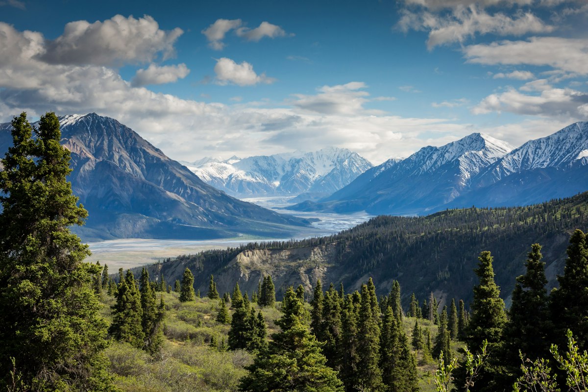
Location Overview
<p>Mont Ventoux, located in the Provence region of southern France, is a majestic and isolated mountain that rises dramatically from the surrounding landscape. Standing at 1,909 meters above sea level, it is the highest point in the Vaucluse department and a prominent feature of the region. The mountain is part of the Prealps and is known for its unique geological formation, which includes a large limestone cap that gives it a distinctive white appearance, especially when seen from a distance. The area around Mont Ventoux is characterized by a diverse landscape, ranging from dense forests and rolling hills at lower elevations to a barren, rocky plateau at the summit. This variability in terrain makes it a fascinating destination for outdoor enthusiasts, particularly cyclists looking for a challenging and rewarding ascent.</p><p>The mountain's isolation and the stark beauty of its upper slopes have earned it the nickname 'Beast of Provence.' The surrounding area is also rich in history and culture, with numerous small towns and villages that offer a glimpse into traditional Provençal life. The region is known for its lavender fields, vineyards, and olive groves, which add to the charm and allure of the area. Whether you are a seasoned cyclist or a nature lover, Mont Ventoux offers a unique and unforgettable experience that is well worth the effort.</p>
Key Points of Interest
<p>The ascent of Mont Ventoux from Bédoin is divided into several key sections, each with its own landmarks and highlights:</p><ul><li><strong>Bédoin to St-Estève (1.5 km, 100 m elevation gain)</strong>: The climb begins gently, passing through the quaint village of Bédoin. The road is relatively flat, allowing you to warm up and get into a comfortable rhythm.</li><li><strong>St-Estève to Malaucène (10.5 km, 400 m elevation gain)</strong>: This section is where the climb starts to become more challenging. The gradient increases, and you will pass through the picturesque village of Malaucène, known for its lavender fields and olive groves.</li><li><strong>Malaucène to Chalet Reynard (5 km, 400 m elevation gain)</strong>: The road becomes steeper and more exposed as you enter the forested area. The dense trees provide some shade, but the gradient remains consistent, testing your endurance.</li><li><strong>Chalet Reynard to the Col de Bounes (2.5 km, 200 m elevation gain)</strong>: This section is known for its switchbacks and the iconic white radar station that marks the summit. The views from the Col de Bounes are breathtaking, offering a panoramic vista of the surrounding landscape.</li><li><strong>Col de Bounes to the Summit (2 km, 100 m elevation gain)</strong>: The final stretch is a stark, windswept plateau that can be both exhilarating and daunting. The summit, marked by the white radar station, is a fitting reward for your efforts and offers 360-degree views of the region.</li></ul>
Route Waypoints
- St-Estève: Small village at the foot of the climb, known for its lavender fields.
- Malaucène: Picturesque village with olive groves and vineyards.
- Chalet Reynard: Rest stop and landmark with stunning views of the surrounding landscape.
- Col de Bounes: Key summit pass with panoramic views of the region.
Getting to the Start
<p>The starting point for the Mont Ventoux ascent from Bédoin is the charming village of Bédoin itself. Bédoin is located in the Vaucluse department, about 30 kilometers northeast of Avignon. To reach Bédoin by car, you can take the D943 from Avignon, which is a scenic and well-maintained road. The village is also accessible by public transport, with bus services connecting it to Avignon and other nearby towns. Once you arrive in Bédoin, you will find several parking areas where you can leave your vehicle. The main parking area is located near the church and the start of the climb, making it a convenient spot to begin your adventure. If you are traveling by public transport, the nearest train station is in Bollène, from where you can take a bus to Bédoin. The village itself is small and easy to navigate, with clear signage pointing to the start of the climb. It is advisable to arrive early in the morning to avoid the heat and traffic, especially during the summer months.</p>
Tips, Safety & Travel
<p>Cycling the Mont Ventoux ascent from Bédoin is a challenging but rewarding experience. To ensure a safe and enjoyable ride, here are some essential tips and safety advice:</p><ul><li><strong>Essential Kit</strong>: Bring a well-maintained bicycle, plenty of water, snacks, and a repair kit. Consider wearing layers, as the temperature can drop significantly at higher elevations.</li><li><strong>Safety Advice</strong>: Always wear a helmet and use front and rear lights, especially in the early morning or late afternoon. Be aware of the traffic, as the route can be busy, particularly during the summer months. Stay hydrated and take regular breaks to avoid fatigue.</li><li><strong>Weather and Terrain Hazards</strong>: The weather on Mont Ventoux can be unpredictable, with strong winds and sudden temperature changes. Check the forecast before you set out and be prepared for all conditions. The upper slopes can be rocky and uneven, so watch your footing and be cautious when descending.</li><li><strong>Best Season</strong>: The best time to tackle the Mont Ventoux ascent is during the summer months (June to August), when the weather is generally mild and the days are long. However, be prepared for strong winds and potential thunderstorms, especially in the afternoons.</li><li><strong>Emergency Notes</strong>: In case of an emergency, dial 112 for assistance. It's a good idea to carry a mobile phone and a basic first-aid kit. Inform someone of your route and expected return time, and always ride with a partner if possible.</li></ul>
Wildlife & Nature Highlights
<p>The Mont Ventoux region is home to a diverse range of flora and fauna, making it a haven for nature enthusiasts. As you begin your ascent from Bédoin, you will pass through dense forests of oak and pine trees. These forests are a habitat for various bird species, including the European robin, great tit, and wood pigeon. You might also spot red squirrels and other small mammals scurrying among the trees. As you climb higher, the vegetation changes, and you will encounter more open, rocky areas. These areas are home to a variety of wildflowers, such as the Provence orchid and the yellow broom, which add a splash of color to the landscape. The higher slopes of Mont Ventoux are known for their unique geology, with the white limestone cap creating a stark and dramatic backdrop. The rocky terrain is also home to several species of reptiles, including the common lizard and the European adder. Keep an eye out for these fascinating creatures, but be cautious as they can be sensitive to human presence. The summit plateau is a windswept and barren landscape, but even here, you can find hardy plants and insects that have adapted to the harsh conditions. Overall, the diverse ecosystems of Mont Ventoux offer a rich and rewarding experience for those who appreciate the natural world.</p>
Tags
- cycling
- mountain
- Provence
- challenge
- scenic
- legendary