Activity: Hiking | Difficulty: Hard | Location: Highlands, Scotland
The Ben Nevis Summit Route is a challenging hike that covers a distance of 12.5 km and involves a significant elevation gain. The terrain is varied, ranging from forested lower slopes to rocky and barren higher sections.
Adventure Statistics
- Distance: 12.5km
- Duration: 2h 12m
- Elevation Gain: 1325m
- Max Elevation: 1345m
- Calories Burned: 993
- Best Seasons: Spring, Summer, Fall, Winter
- Features: Summit, Waterfall, Viewpoint, Forest, River, Wildlife_viewing
Photos
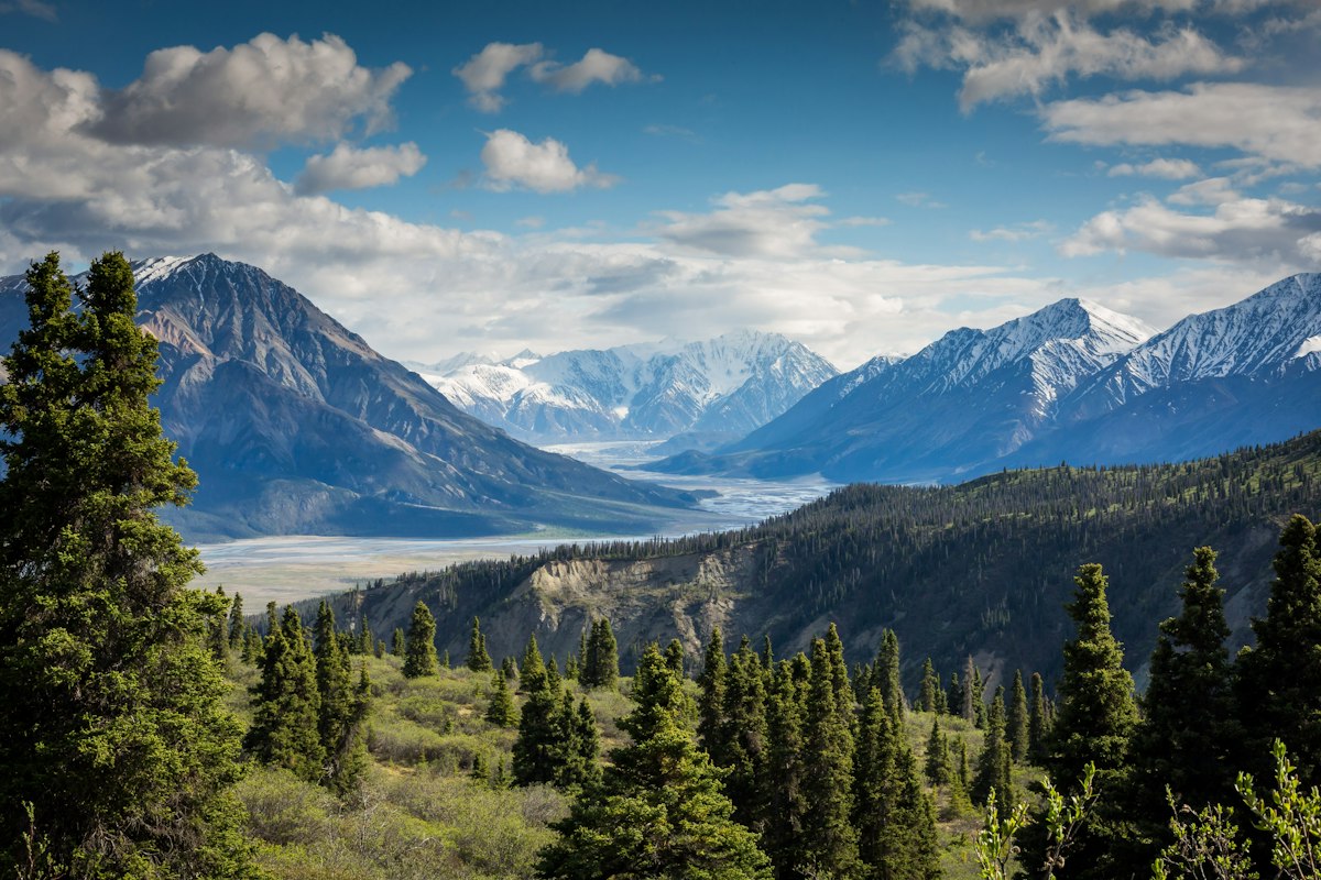

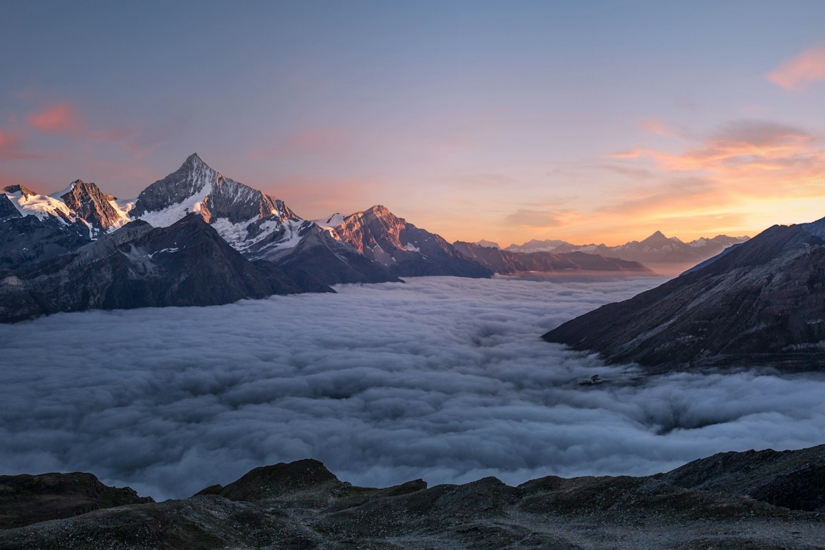
Location Overview
<p>The Ben Nevis area is a true gem in the Scottish Highlands, offering a diverse and dramatic landscape that is perfect for hiking. Located in the western part of the Highlands, Ben Nevis is the highest peak in the British Isles, standing at an impressive 1,345 meters (4,413 feet) above sea level. The mountain is part of the Grampian Mountains and is surrounded by a network of smaller peaks, valleys, and lochs, creating a breathtaking setting for outdoor enthusiasts.</p><p>The base of Ben Nevis is characterized by lush, green forests and rolling hills, which gradually give way to more rugged and barren terrain as you ascend. The lower slopes are home to a variety of flora and fauna, including heather, bracken, and a diverse range of wildflowers. As you climb higher, the vegetation becomes more sparse, and the landscape takes on a more alpine character, with rocky outcrops and scree fields dominating the scenery.</p><p>The area around Ben Nevis is rich in geological features, with the mountain itself being a remnant of an ancient volcano. The summit is marked by a large cairn and a trig point, which is a popular spot for hikers to take photos and enjoy the panoramic views. The surrounding landscape is also home to several smaller peaks and ridges, such as Carn Dearg and Aonach Beag, which offer additional hiking opportunities for those looking to explore the area further.</p><p>Ben Nevis is not just a natural wonder but also a site of cultural and historical significance. The mountain has been a focal point for human activity for thousands of years, with evidence of ancient settlements and burial sites in the surrounding area. Today, the Glen Nevis Visitor Centre provides information about the mountain's history and the local wildlife, making it a great starting point for your hiking adventure. Whether you're a seasoned hiker or a first-time visitor, the Ben Nevis area in Scotland is a must-visit destination for anyone who loves the great outdoors.</p>
Key Points of Interest
<p><strong>Glen Nevis Visitor Centre:</strong> The starting point of the Ben Nevis Summit Route, the Glen Nevis Visitor Centre provides essential information about the trail, weather conditions, and safety advice. The center also has a car park, making it a convenient starting point for your hike.</p><p><strong>Steall Falls:</strong> Located in the Glencoe area, Steall Falls is one of the highest waterfalls in the United Kingdom. The falls are a stunning natural feature and are a popular spot for photographers and hikers. The trail to the falls is well-marked and offers breathtaking views of the surrounding landscape.</p><p><strong>Carn Dearg:</strong> Carn Dearg is a subsidiary peak of Ben Nevis, located to the east of the main summit. The ridge leading to Carn Dearg offers some of the most spectacular views of the hike, with panoramic vistas of the surrounding mountains and valleys. The path to Carn Dearg is less crowded than the main summit route, making it a great option for those seeking a quieter hiking experience.</p><p><strong>The Pony Track:</strong> The Pony Track is a well-maintained path that leads from the Glen Nevis Visitor Centre to the base of the summit ridge. This section of the trail is relatively gentle and is suitable for hikers of all skill levels. The track is named after the ponies that were once used to carry supplies to the summit observatory, which was operational from 1883 to 1904.</p><p><strong>Summit of Ben Nevis:</strong> The summit of Ben Nevis is the highlight of the hike, offering a sense of accomplishment and panoramic views of the Scottish Highlands. The summit is marked by a large cairn and a trig point, and there is a small shelter where hikers can rest and enjoy the views. On a clear day, you can see for miles, taking in the beauty of the surrounding mountains, valleys, and lochs.</p><p><strong>North Face:</strong> The north face of Ben Nevis is a dramatic and imposing feature, with steep cliffs and rocky outcrops. While the north face is not part of the main summit route, it is visible from several points along the trail and adds to the scenic beauty of the hike. The north face is a popular destination for experienced climbers and mountaineers, who are drawn to its challenging routes and technical climbs.</p>
Route Waypoints
- Steall Falls: One of the highest waterfalls in the UK, located in the Glencoe area.
- Pony Track: A well-maintained path leading to the base of the summit ridge.
- Carn Dearg: A subsidiary peak offering panoramic views of the surrounding mountains.
- Summit of Ben Nevis: The highest point in the British Isles, marked by a trig point and a small shelter.
- North Face Viewpoint: A scenic spot offering views of the dramatic north face of Ben Nevis.
- Pony Track Return: The same path used to ascend, now for the descent back to the visitor centre.
Getting to the Start
<p>The starting point for the Ben Nevis Summit Route is the Glen Nevis Visitor Centre, which is located in the village of Glen Nevis, just a short drive from the town of Fort William. Fort William is the nearest major town and serves as a gateway to the Scottish Highlands. To reach Fort William, you can take the A82 road, which runs north from Glasgow or south from Inverness. From Fort William, follow the A830 towards Lochaber, and then take the B8004 towards Glen Nevis. The road is well-maintained and easy to navigate, making it accessible by car.</p><p>If you're traveling by public transport, Fort William has a train station with regular services from Glasgow and Inverness. From the train station, you can take a local bus to Glen Nevis, or you can arrange a taxi. The Glen Nevis Visitor Centre has a large car park, which is free to use, making it a convenient starting point for your hike. The visitor center also provides essential information about the trail, weather conditions, and safety advice, ensuring that you are well-prepared for your adventure.</p><p>For those who prefer to start their hike early in the morning, it's a good idea to arrive at the visitor center before the official opening hours. The car park is accessible 24/7, and you can begin your ascent as soon as you're ready. The trailhead is clearly marked, and you'll find a map and information board at the start of the path. Whether you're driving, taking public transport, or combining both, reaching the start of the Ben Nevis Summit Route in Scotland is straightforward and convenient.</p>
Tips, Safety & Travel
<p>Hiking the Ben Nevis Summit Route in Highlands, Scotland, is a challenging but rewarding experience. To ensure a safe and enjoyable journey, it's important to be well-prepared and to follow some essential tips and safety advice. First and foremost, always check the weather forecast before setting out. The weather on Ben Nevis can be unpredictable, with sudden changes in temperature and visibility. It's a good idea to dress in layers and to bring waterproof and windproof clothing, as well as sturdy hiking boots with good traction.</p><p>Carry a map and compass, and consider using a GPS device or a smartphone app to help navigate the trail. The route is well-marked, but it's always better to be prepared, especially in poor visibility. Bring plenty of water and snacks, as there are no facilities along the trail. A first-aid kit, a whistle, and a fully charged mobile phone are also essential items to have with you.</p><p>Be aware of the terrain and the potential hazards. The trail can be steep and rocky, especially in the higher sections, and loose scree can make footing unstable. Take your time, and don't rush. If you're hiking with a group, stay together and keep an eye on each other. The best season for hiking Ben Nevis is during the summer months, from June to September, when the weather is generally more stable and the days are longer. However, the mountain can be hiked year-round, provided you are well-prepared and experienced in winter hiking.</p><p>In case of an emergency, dial 999 or 112 and ask for the Mountain Rescue Service. The Scottish Mountain Rescue teams are highly trained and equipped to handle emergencies in the Highlands. It's also a good idea to let someone know your planned route and expected return time, so they can raise the alarm if you don't return on schedule. By following these tips and being prepared, you can enjoy a safe and memorable hiking experience on Ben Nevis in Scotland.</p>
Wildlife & Nature Highlights
<p>The Ben Nevis area is home to a rich and diverse array of wildlife, making it a fantastic destination for nature enthusiasts. As you hike through the lower slopes, you'll encounter a variety of flora, including heather, bilberry, and various species of grasses and wildflowers. The dense forests at the base of the mountain provide a habitat for a range of animals, such as red deer, roe deer, and wild boar. You might also spot smaller mammals like rabbits, hares, and voles, which are common in the area.</p><p>Birdwatchers will be delighted by the variety of bird species that can be seen in the Ben Nevis area. Resident birds include the red grouse, ptarmigan, and golden plover, which are well-adapted to the harsh alpine environment. During the breeding season, you might also spot raptors such as the golden eagle and peregrine falcon, which are known to nest in the cliffs and rocky outcrops. The forests are home to a variety of songbirds, including the chaffinch, great tit, and blue tit, adding a melodious soundtrack to your hike.</p><p>The geology of Ben Nevis is also a highlight, with the mountain being a remnant of an ancient volcano. The summit and upper slopes are composed of hard, volcanic rock, which has been shaped by millions of years of erosion. The lower slopes are covered in a layer of glacial till, which was deposited during the last ice age. The area is also home to several small streams and waterfalls, which add to the scenic beauty of the trail. One of the most notable waterfalls is Steall Falls, which is located in the Glencoe area and is a popular spot for photographers.</p><p>In addition to the natural features, the Ben Nevis area is home to several historical sites, including the ruins of the Ben Nevis Distillery, which operated from 1825 to 1903. The distillery was once a major employer in the area and played a significant role in the local economy. Today, the ruins are a reminder of the area's industrial heritage and are worth a visit if you have the time. Whether you're interested in wildlife, geology, or history, the Ben Nevis area in Scotland offers a wealth of natural and cultural attractions that make it a truly special destination.</p>
Tags
- hiking
- Scotland
- Ben Nevis
- Highlands
- summit
- trail
- outdoor adventure
- mountaineering