Activity: Hiking | Difficulty: Hard | Location: Cusco, Peru
The Inca Trail to Machu Picchu is a 43 km (26.7 miles) point-to-point trail with moderate to challenging difficulty. The terrain includes high Andean plains, cloud forests, and steep ascents and descents, culminating at the high point of Dead Woman’s Pass at 4,215 meters (13,829 feet).
Adventure Statistics
- Distance: 43.0km
- Duration: 7h 35m
- Elevation Gain: 1835m
- Max Elevation: 4215m
- Calories Burned: 3417
- Best Seasons: Spring, Summer, Fall
- Features: Viewpoint, Summit, Forest, Historical_site, River, Trail
Photos
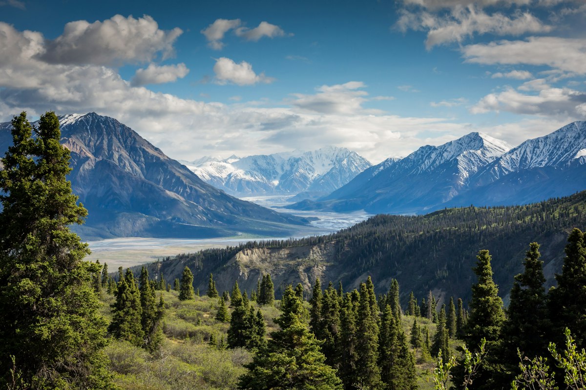

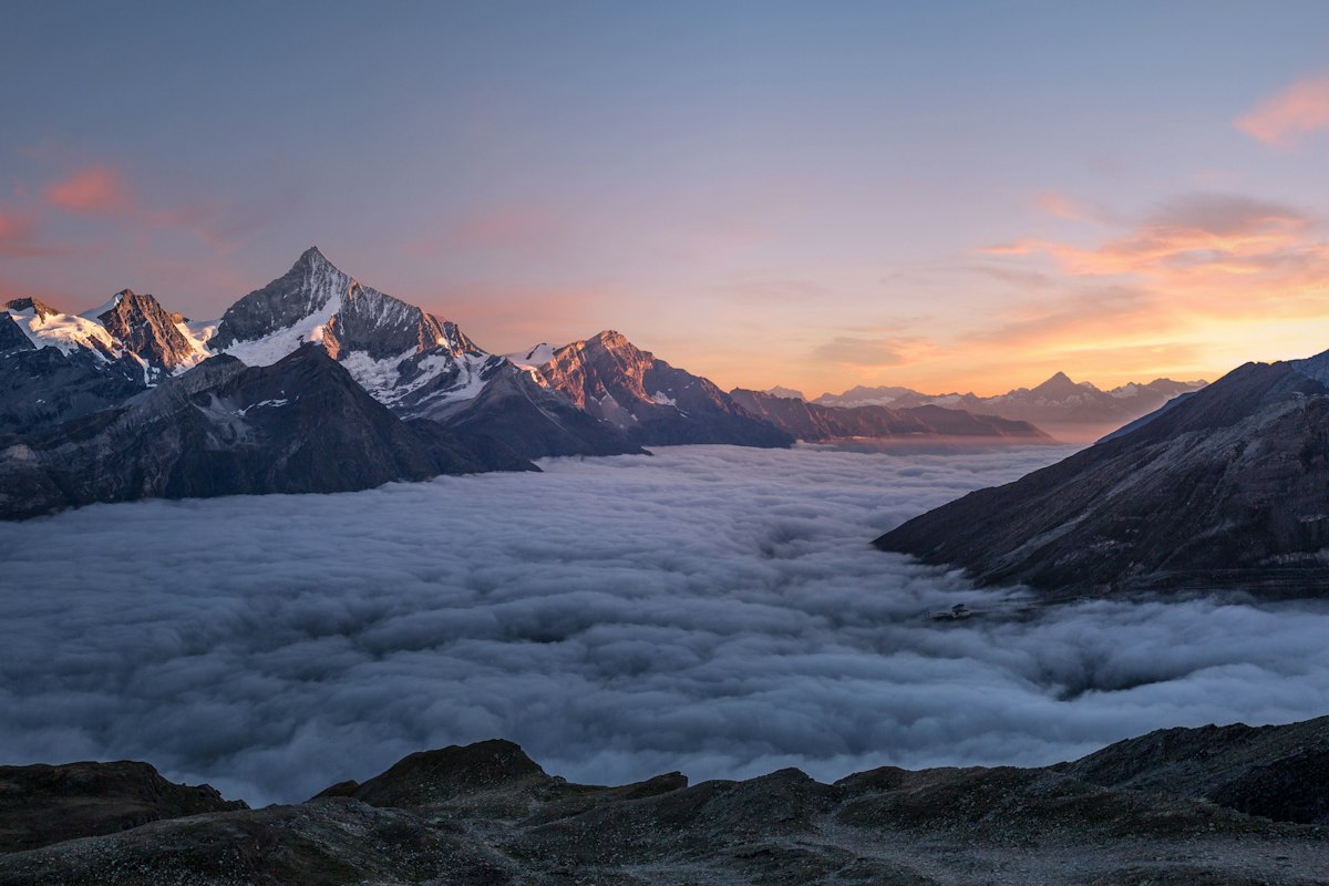
Location Overview
<p>The Inca Trail to Machu Picchu is located in the Cusco region of Peru, a region renowned for its rich history and stunning natural beauty. The trail starts near the town of Ollantaytambo, which is itself a significant archaeological site with well-preserved Inca ruins. The Cusco region is characterized by its high-altitude Andean landscapes, with rolling hills, deep valleys, and towering peaks. The area is also home to the Sacred Valley of the Incas, a fertile region that was once the breadbasket of the Inca Empire.</p><p>The landscape along the Inca Trail is incredibly diverse. You'll start in the high Andean plains, where the air is thin and the views are expansive. As you descend into the cloud forest, the terrain becomes more rugged and the vegetation more lush. The cloud forest is a unique ecosystem that supports a wide variety of flora and fauna, including many endemic species. The trail also passes through several ecological zones, each with its own distinct character and beauty.</p><p>One of the most striking features of the Cusco region is the dramatic change in elevation. The trail starts at an elevation of around 2,600 meters (8,530 feet) and descends to about 2,000 meters (6,560 feet) before climbing back up to the high point at Dead Woman’s Pass, which stands at 4,215 meters (13,829 feet). This elevation change contributes to the trail's moderate to challenging difficulty level, but it also provides a wide range of scenic views and experiences.</p><p>The Inca Trail is a popular destination for hikers and history enthusiasts alike. The trail is well-maintained and marked, with stone steps and ancient Inca constructions guiding the way. However, it's important to note that the trail can be crowded, especially during the high season from June to August. Permits are required to hike the Inca Trail, and the number of permits issued each day is limited to 500, including porters and guides. This helps to preserve the trail and the surrounding environment.</p>
Key Points of Interest
<p><strong>Km 82 (Piskacucho):</strong> This is the official starting point of the Inca Trail. Here, you'll find a small checkpoint where you'll need to show your permit and passport. The trail begins with a gentle descent along the Urubamba River, offering scenic views of the surrounding mountains and the river below.</p><p><strong>Llactapata:</strong> This is the first major archaeological site you'll encounter on the trail. Llactapata is a small Inca settlement that was likely used as a rest stop for travelers. The site offers panoramic views of the surrounding mountains and the Urubamba Valley. The ruins are well-preserved and provide a glimpse into the daily life of the Inca people.</p><p><strong>Dead Woman’s Pass (Abra Warmiwañusca):</strong> At 4,215 meters (13,829 feet), this is the highest point on the Inca Trail. The pass is named for its resemblance to a woman lying on her back. The ascent to the pass is steep and challenging, but the views from the top are breathtaking. On a clear day, you can see the snow-capped peaks of the Andes and the Urubamba Valley below.</p><p><strong>Runkuracay:</strong> This is a small circular Inca ruin that sits at the top of a hill. The site is believed to have been a watchtower or a checkpoint. The ruins offer a panoramic view of the surrounding landscape, including the cloud forest and the mountains in the distance. The site is a great place to stop and rest before continuing your journey.</p><p><strong>Phuyupatamarca:</strong> Known as the
Route Waypoints
- Llactapata: A small Inca settlement with panoramic views of the Urubamba Valley.
- Dead Woman’s Pass (Abra Warmiwañusca): The highest point on the trail at 4,215 meters, offering breathtaking views of the Andes.
- Runkuracay: A circular Inca ruin believed to have been a watchtower or checkpoint.
- Phuyupatamarca: An Inca site known as the 'Town Above the Clouds' with stunning views of the surrounding mountains.
- Wiñay Wayna: A beautifully preserved Inca site with terraces and a temple, located just a few kilometers from Machu Picchu.
- Sun Gate (Inti Punku): The final point on the trail, offering the first breathtaking view of Machu Picchu.
Getting to the Start
<p>The starting point of the Inca Trail is near the town of Ollantaytambo, which is located about 70 kilometers northwest of Cusco. To reach Ollantaytambo, you can take a bus or a taxi from Cusco. The journey by bus takes approximately 2 hours and is a scenic drive through the Sacred Valley. If you're driving, the main road to Ollantaytambo is the GR-30, which is well-maintained and suitable for most vehicles. There are several parking areas in Ollantaytambo, including the main bus station, which has ample space for vehicles and is free of charge.</p><p>From Ollantaytambo, you can take a shuttle or a taxi to the trailhead at Km 82, which is the official starting point of the Inca Trail. The shuttle service is available from the town square and costs around 30 soles (about $9 USD) per person. The journey to Km 82 takes about 30 minutes and is a scenic drive through the Urubamba Valley. Alternatively, you can hike from Ollantaytambo to Km 82, which is a distance of about 10 kilometers and takes approximately 3 hours.</p><p>If you're using public transportation, there are regular buses from Cusco to Ollantaytambo, and from Ollantaytambo to Km 82. The bus from Cusco to Ollantaytambo costs around 15 soles (about $5 USD) and runs every hour from early morning until late afternoon. The bus from Ollantaytambo to Km 82 costs around 5 soles (about $1.50 USD) and runs every 30 minutes during the day.</p>
Wildlife & Nature Highlights
<p>The Inca Trail to Machu Picchu is not only a historical and cultural treasure but also a haven for wildlife enthusiasts. The trail passes through several ecological zones, each with its own unique flora and fauna. In the high Andean plains, you might encounter Andean foxes, vicuñas, and a variety of bird species, including the Andean condor, which is the largest flying bird in the world. The Andean condor is a symbol of the Andes and is often seen soaring over the mountains.</p><p>As you descend into the cloud forest, the biodiversity increases dramatically. The cloud forest is home to a wide variety of flora, including orchids, bromeliads, and ferns. The dense vegetation provides a habitat for many species of birds, such as the Andean cock-of-the-rock, the Andean mountain toucan, and the white-browed tit-spinetail. The cloud forest is also home to mammals like the spectacled bear, the largest land mammal in South America, and the Andean night monkey, a small nocturnal primate.</p><p>The trail also passes through areas with significant geological features, such as the Wiñay Wayna archaeological site, which is built on a series of terraces that provide a unique perspective on the Inca's agricultural techniques. The terraces are not only a testament to the Inca's engineering skills but also a habitat for a variety of plant species, including the rare and endemic Wiñay Wayna orchid, which blooms in the spring and early summer.</p><p>Along the trail, you might also encounter a variety of insects, reptiles, and amphibians. The cloud forest is home to many species of butterflies, including the blue morpho, which is known for its vibrant blue wings. The area is also home to several species of frogs, such as the glass frog, which is transparent and allows you to see its internal organs.</p>
Tags
- Inca Trail
- Machu Picchu
- Cusco
- hiking
- Andes
- cloud forest
- archaeological sites
- high altitude