Activity: Hiking | Difficulty: Hard | Location: Eysturoy, Faroe Islands
The hike to Slaettaratindur Summit in Eysturoy is a challenging out-and-back route, covering a distance of approximately 16 kilometers. The trail features steep ascents and rocky terrain, making it suitable for experienced hikers.
Adventure Statistics
- Distance: 16.0km
- Duration: 2h 45m
- Elevation Gain: 862m
- Max Elevation: 882m
- Calories Burned: 1239
- Best Seasons: Summer, Fall
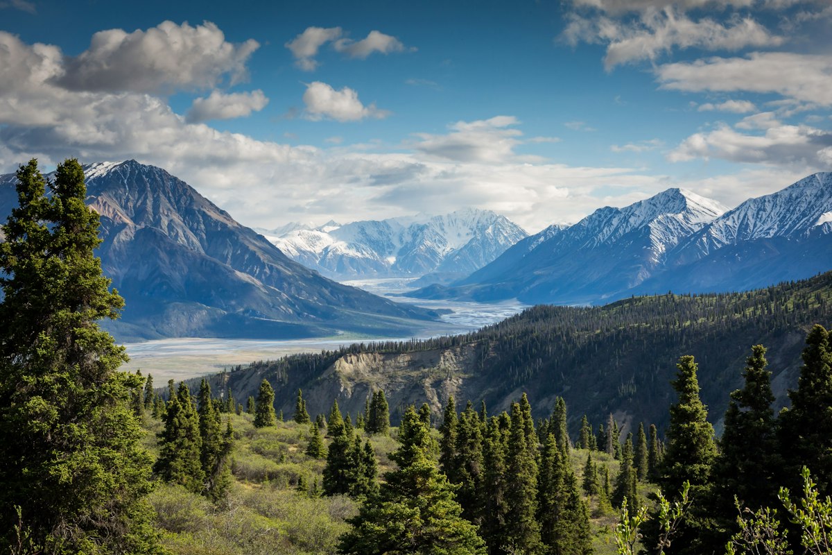
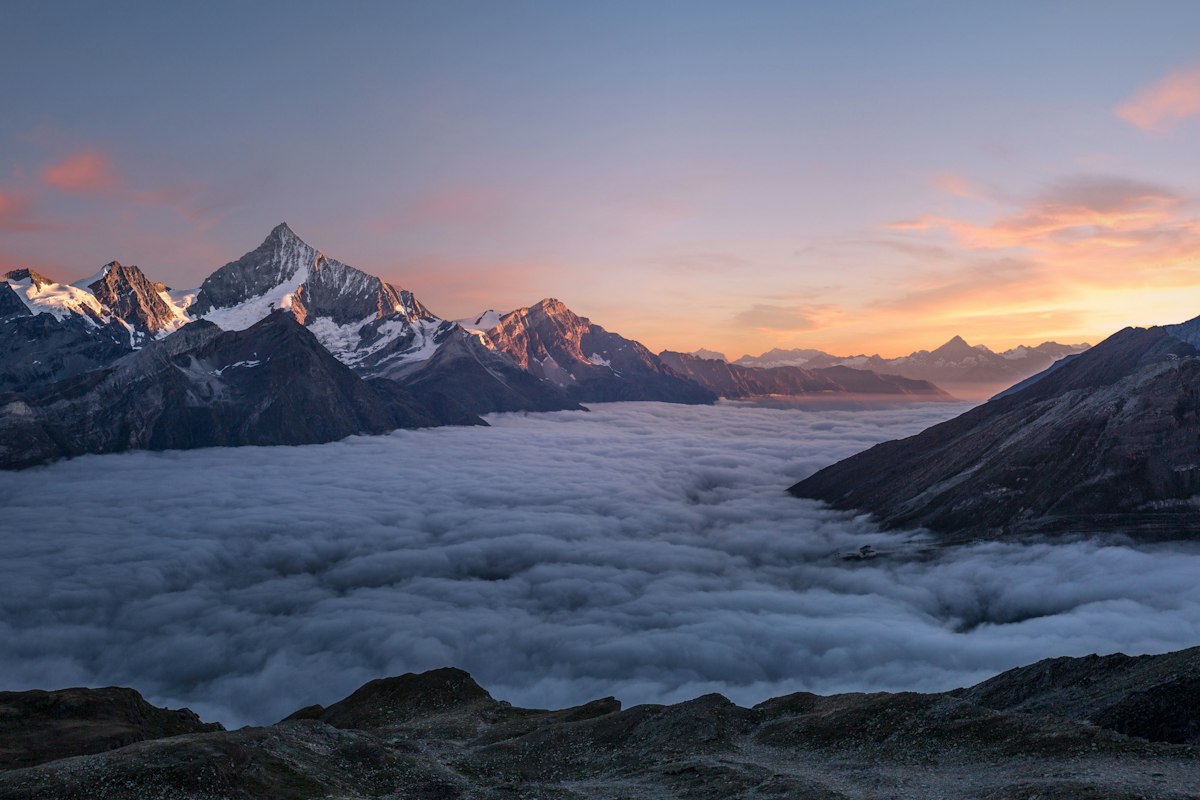
- Features: Summit, Viewpoint, Lake, Rocky terrain, Grassland meadows, Cliffs
Photos

Location Overview
<p>Eysturoy, one of the largest and most populous islands in the Faroe Islands, is a hiker's paradise. The island is characterized by its dramatic landscapes, which include towering cliffs, deep fjords, and rolling hills. The northern part of the island is particularly rugged, with the highest peak, Slaettaratindur, standing at 882 meters (2,894 feet) above sea level. The island's geography is a result of millions of years of volcanic activity and glacial erosion, creating a unique and awe-inspiring environment.</p><p>The landscape of Eysturoy is marked by a mix of grassy meadows, rocky outcrops, and steep cliffs. The island is home to a variety of flora and fauna, including rare species of birds and plants. The coastline is particularly striking, with jagged cliffs that drop dramatically into the Atlantic Ocean. The interior of the island is more gentle, with rolling hills and valleys that are perfect for hiking. The island's climate is subpolar oceanic, which means that hikers can expect cool temperatures and frequent rain, especially during the summer months. Despite the challenging weather, the island's natural beauty makes it a popular destination for hikers and nature lovers.</p><p>Eysturoy is a great destination for hiking because it offers a wide range of trails that cater to different skill levels. From easy coastal walks to challenging mountain hikes, there is something for everyone. The island's well-marked trails and excellent infrastructure make it easy for hikers to explore the island's natural wonders. Whether you are a seasoned hiker or a beginner, Eysturoy provides a unique and rewarding hiking experience that is sure to leave a lasting impression.</p>
Key Points of Interest
<p>1. <strong>Eiði Church</strong>: The hike begins near the Eiði Church, a historic landmark in the village of Eiði. The church, built in 1883, is a beautiful example of Faroese architecture and serves as a starting point for the hike to Slaettaratindur. From here, the trail begins to ascend, offering hikers their first glimpses of the surrounding landscape.</p><p>2. <strong>Grassland Meadows</strong>: As you leave the village, the trail takes you through lush grassland meadows. These meadows are home to a variety of wildflowers and are a common sight in the early stages of the hike. The gentle terrain provides a good warm-up for the more challenging sections ahead.</p><p>3. <strong>Stóra Dalsvatn</strong>: One of the highlights of the hike is the stunning lake, Stóra Dalsvatn. The lake is surrounded by steep cliffs and offers a serene and picturesque setting. It's a great place to stop for a rest and take in the views before continuing the ascent.</p><p>4. <strong>Valley of the Giants</strong>: As you approach the higher elevations, the trail enters the Valley of the Giants, a dramatic landscape of rocky outcrops and steep slopes. This section of the hike is particularly challenging, with steep ascents and loose scree that require careful footing. The valley is named for its imposing rock formations, which create a sense of grandeur and scale.</p><p>5. <strong>Slaettaratindur Summit</strong>: The summit of Slaettaratindur is the ultimate goal of the hike. At 882 meters (2,894 feet) above sea level, the summit offers panoramic views of the Faroe Islands. On a clear day, you can see the surrounding islands, the Atlantic Ocean, and the dramatic cliffs of Eysturoy. The summit is a rocky plateau, providing a place to rest and take in the views.</p><p>6. <strong>Descent to Eiði</strong>: The descent from the summit is just as challenging as the ascent, with steep paths and loose scree that require careful navigation. The trail takes you back through the Valley of the Giants and the grassland meadows, offering a different perspective on the landscape. As you approach the village of Eiði, you can reflect on the journey and the incredible views you have experienced.</p>
Route Waypoints
- Grassland Meadows: A gentle ascent through lush meadows, providing a good warm-up for the hike.
- Stóra Dalsvatn: A beautiful lake surrounded by steep cliffs, offering a serene rest stop.
- Valley of the Giants: A dramatic landscape of rocky outcrops and steep slopes, named for its imposing rock formations.
- Slaettaratindur Summit: The highest point of the hike, offering panoramic views of the Faroe Islands.
- Descent to Eiði: The return journey through the Valley of the Giants and grassland meadows.
Getting to the Start
<p>The hike to Slaettaratindur begins near the village of Eiði, located on the northern part of Eysturoy. To reach the trailhead, you can drive from the capital city of Tórshavn, which is about a 1.5-hour drive. From Tórshavn, take the main road, Route 1, north towards Klaksvík. After passing through the town of Fuglafjørður, continue on Route 1 until you reach the village of Eiði. The trailhead is located near the Eiði Church, and there is a small car park where you can leave your vehicle. The car park is free and can accommodate a few cars, but it can get busy during peak hiking season, so it's best to arrive early.</p><p>If you are traveling by public transport, there are bus services that run from Tórshavn to Eiði. The bus stop is located near the Eiði Church, and the trailhead is a short walk away. The bus schedule can be found on the website of Strætó, the public transport company in the Faroe Islands. It's important to check the schedule in advance, as buses may not run as frequently on weekends or during the off-season. Once you arrive in Eiði, the trailhead is well-marked, and you can follow the signs to the start of the hike.</p>
Tips, Safety & Travel
<p>Hiking to the summit of Slaettaratindur is a challenging but rewarding adventure. The trail is well-marked, but it requires good physical fitness and a sense of adventure. The best time to hike the route is during the summer months, from June to August, when the weather is generally milder and the days are longer. However, it's important to be prepared for changing weather conditions, as the Faroe Islands can experience sudden changes in temperature and visibility.</p><p>When planning your hike, it's a good idea to check the weather forecast and trail conditions in advance. The Faroe Islands Tourist Board provides up-to-date information on trails and weather, which can be found on their website. It's also recommended to bring appropriate gear, including sturdy hiking boots, waterproof clothing, and layers for varying temperatures. A map and compass are essential for navigation, especially in foggy conditions, and a GPS device can be useful for tracking your progress.</p><p>Safety is a top priority when hiking in Eysturoy. The trail can be steep and rocky, with loose scree and uneven terrain. It's important to stay on the marked trail and avoid taking shortcuts, as this can be dangerous. Hikers should also be aware of the risk of hypothermia, especially in wet and windy conditions. It's a good idea to carry a first-aid kit, a whistle, and a fully charged mobile phone in case of emergencies. The nearest medical facilities are in Tórshavn, so it's important to be prepared for any eventuality.</p>
Wildlife & Nature Highlights
<p>The Faroe Islands, and Eysturoy in particular, are home to a rich variety of wildlife. The island's unique ecosystem supports a diverse range of flora and fauna, making it a paradise for nature enthusiasts. One of the most notable species is the Atlantic puffin, a small seabird that nests in the cliffs along the coast. During the summer months, the cliffs of Eysturoy are teeming with these colorful birds, which can be seen diving into the water to catch fish. Other seabirds that can be spotted include guillemots, razorbills, and kittiwakes.</p><p>In addition to seabirds, Eysturoy is home to a variety of land birds, such as the European golden plover and the meadow pipit. These birds can often be seen foraging in the grassy meadows and along the hiking trails. The island is also home to a variety of plants, including rare species such as the Faroese primrose and the Faroese buttercup. These plants can be found in the higher elevations, where the cooler temperatures and wetter conditions provide an ideal habitat.</p><p>The geology of Eysturoy is another highlight of the island. The rugged cliffs and rocky outcrops are a result of millions of years of volcanic activity and glacial erosion. The island's landscape is characterized by basalt columns, which are a common feature of the Faroe Islands. These columns are formed by the cooling and solidification of lava, and they create a unique and dramatic landscape. The island's geology also includes a variety of rock formations, such as the famous Drangarnir sea stacks, which are located off the coast of Eysturoy.</p>
Tags
- hiking
- mountain
- scenic
- challenging
- outdoor adventure
- Faroe Islands
- Eysturoy
- summit