Activity: Hiking | Difficulty: Moderate | Location: Pyrenees, Spain
The Pyrenees High Route Traverse delivers a scenic yet challenging alpine hike across rugged ridges and high mountain passes, with 1,100m of elevation gain over 12.5km. Distinctive for its sweeping views, turquoise Ibón de Plan lake, and Punta Suelza summit, it suits fit hikers craving dramatic Spanish Pyrenees landscapes. Best tackled spring through fall, this moderate adventure rewards with alpine lakes, lofty passes, and sky-high vistas.
Adventure Statistics
- Distance: 12.5km
- Duration: 7h 0m
- Elevation Gain: 1100m
- Max Elevation: 2230m
- Calories Burned: 1800
- Best Seasons: Spring, Summer, Fall
- Features: Viewpoint, Summit, Lake, Pass
Photos

Location Overview
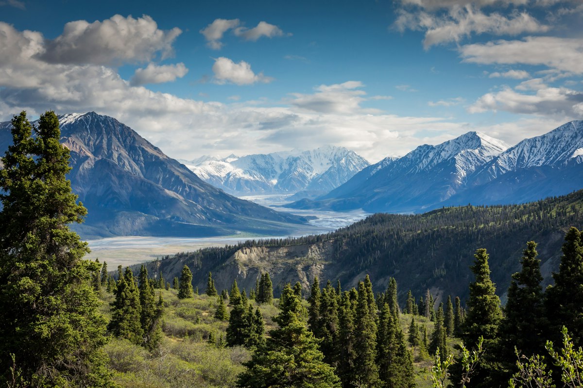
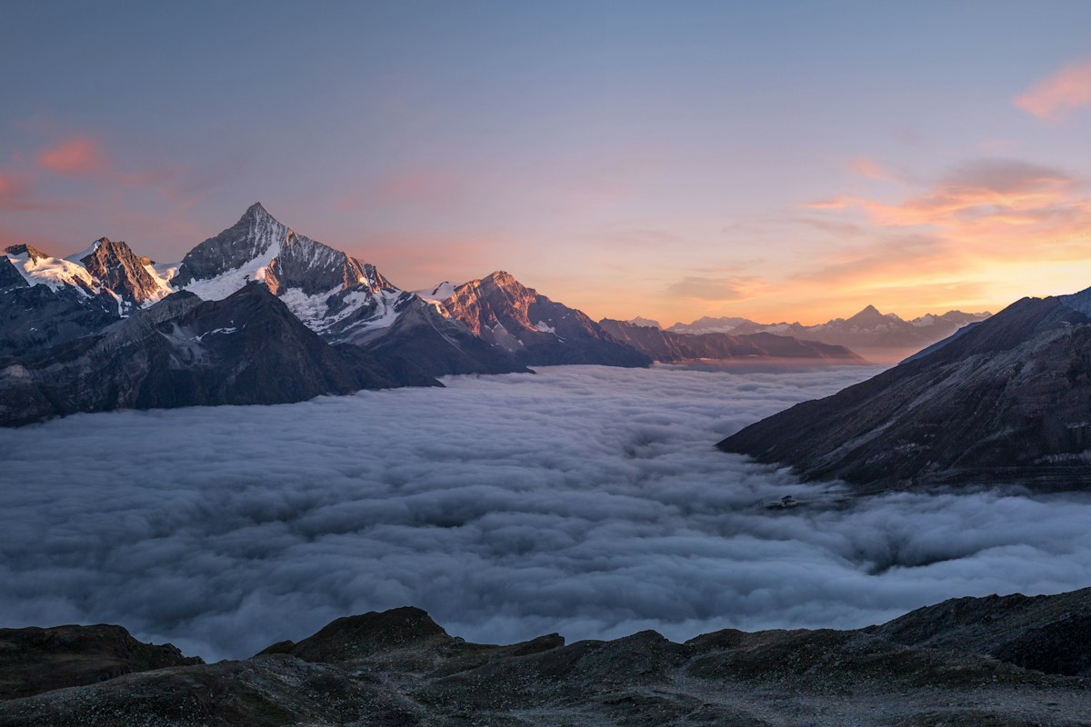
The Pyrenees High Route traverses the central Pyrenees in Spain's Aragón region. This rugged mountain landscape features steep valleys carved by glaciers, towering limestone peaks exceeding 3,000m, and high-altitude lakes known as ibóns. The route follows ancient shepherd trails through diverse ecosystems from subalpine forests to rocky alpine zones. The terrain alternates between grassy meadows, scree slopes, and dramatic cliff faces with constant views of the region's iconic peaks like Monte Perdido.
Key Points of Interest
1. Trailhead at Vallibierna Valley (1,200m) - Start through pine forests with waterfall views
2. Collado de Sahún pass (2,050m) - Crucial crossing with panoramic mountain vistas
3. Ibón de Plan lake (1,910m) - Stunning glacial lake perfect for lunch break
4. Punta Suelza viewpoint (2,230m) - 360° views of Posets-Maladeta Natural Park
5. Return via ancient shepherd trails through wildflower meadows
Route Waypoints
- Cascada de Vallibierna: Impressive waterfall with viewing platform
- Collado de Sahún: Key mountain pass with panoramic views
- Ibón de Plan: Turquoise glacial lake surrounded by peaks
- Punta Suelza: 360° viewpoint over Posets-Maladeta Park
Getting to the Start
The trailhead near 42.6483, 0.7344 is closest to the village of Benasque (15km away). From Barcelona (4.5 hours) or Zaragoza (3 hours), drive to Benasque via A-139. Limited parking at the trailhead (arrive early). No public transport to the start; taxis available from Benasque. Nearest major airport is Barcelona. In winter, snow chains may be required for access roads.
Tips, Safety & Travel
Essential kit: Sturdy boots, waterproof layers, sun protection, map/GPS, 2L water/person. Best seasons: June-October. Avoid afternoon storms in summer. Emergency number: 112. Register at Benasque tourist office. Carry cash for mountain refuges. No water sources after first 3km. Mobile coverage intermittent. Not suitable for dogs due to steep sections and wildlife.
Wildlife & Nature Highlights
Spot Pyrenean chamois on rocky slopes, marmots in meadows, and golden eagles soaring above. The area hosts endemic flowers like Pyrenean lily and saxifrage. Notable geological features include glacial cirques, limestone karst formations, and the turquoise Ibón de Plan lake formed in a glacial depression. Watch for fossilized marine creatures in limestone outcrops.
Tags
- pyrenees
- hiking
- mountain
- spain
- alpine