Activity: Hiking | Difficulty: Hard | Location: Costa Teguise, Spain
The Costa Teguise Summit Trail is a challenging out-and-back hike that covers a distance of approximately 10 kilometers. The trail is steep in places and offers stunning views of the island and the surrounding countryside.
Adventure Statistics
- Distance: 10.0km
- Duration: 1h 45m
- Elevation Gain: 380m
- Max Elevation: 400m
- Calories Burned: 795
- Best Seasons: Spring, Fall, Winter
- Features: Viewpoint, Summit, Volcanic landscape, Vineyard, Salt flats, Geological formations
Photos
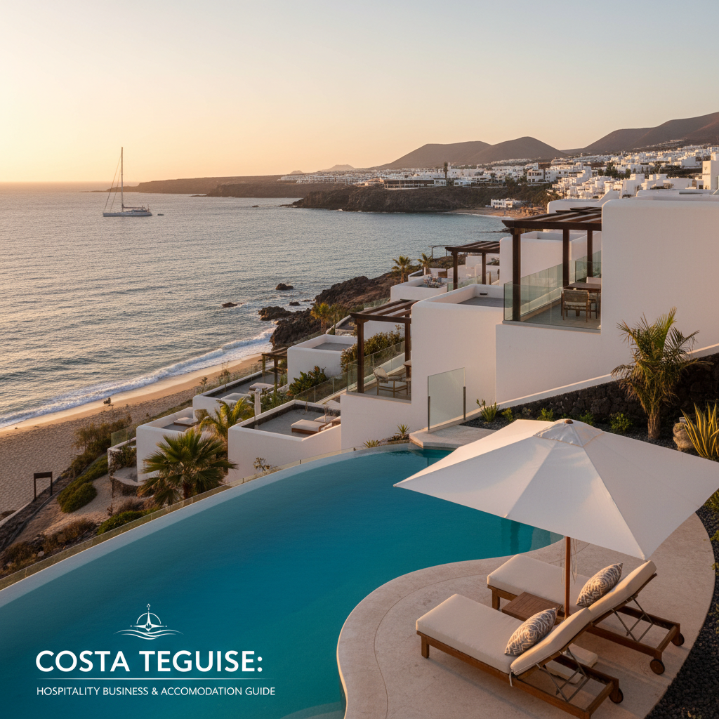
Location Overview
<p>Costa Teguise is a charming town located on the northeastern coast of Lanzarote, one of the Canary Islands. The town is known for its beautiful beaches, clear blue waters, and the nearby Timanfaya National Park, which is a UNESCO Biosphere Reserve. The landscape around Costa Teguise is a mix of volcanic terrain, green valleys, and coastal cliffs, making it a perfect destination for hikers and nature lovers. The volcanic activity that shaped the island has left behind a unique and dramatic landscape, with black sand beaches, lava fields, and craters that are a testament to the island's geological history.</p><p>The Costa Teguise Summit Trail takes you through some of the most picturesque and varied landscapes that the island has to offer. The trail starts near the town and gradually ascends through a series of volcanic hills and valleys. As you hike, you will pass through areas of dense vegetation, where the contrast between the black volcanic soil and the lush greenery is striking. The trail also offers several viewpoints where you can stop and take in the panoramic views of the island, the ocean, and the surrounding countryside.</p><p>One of the unique features of the trail is the opportunity to see the island's volcanic formations up close. The Timanfaya National Park, which is just a short drive from Costa Teguise, is home to some of the most impressive volcanic landscapes in the world. The park is a protected area that is home to a variety of unique plant and animal species, many of which are found nowhere else on earth. The trail also passes through areas of dense vegetation, where you can see a variety of local flora, including the Canary Island date palm and the endemic Canary Island spurge.</p><p>The town of Costa Teguise itself is a great starting point for the hike. The town has a range of amenities, including restaurants, shops, and accommodations, making it a convenient base for your adventure. The town is also a popular destination for tourists, but the trail itself is relatively quiet and offers a peaceful escape from the crowds. Whether you are looking for a challenging hike or a relaxing walk in nature, the Costa Teguise Summit Trail has something to offer everyone.</p>
Key Points of Interest
<p>One of the first highlights you will encounter on the Costa Teguise Summit Trail is the vineyard area near La Geria. This unique landscape is characterized by small, circular walls of volcanic rock that protect the grapevines from the strong winds and harsh sun. The method of growing grapes in this way is a testament to the ingenuity of the local farmers and the resilience of the people of Lanzarote.</p><p>As you continue along the trail, you will reach the viewpoint at Las Salinas. This stunning vantage point offers panoramic views of the Atlantic Ocean and the nearby salt flats. On a clear day, you can see the distant islands of Fuerteventura and Graciosa. The salt flats are a unique feature of the area, and the white salt crystals contrast beautifully with the black volcanic soil.</p><p>The next highlight is the volcanic crater at Montañas del Fuego. This series of volcanic cones is part of the Timanfaya National Park and is a protected area that is home to a variety of unique geological formations. The crater itself is a dramatic sight, with its black lava fields and red and orange hues that are a result of the volcanic activity. The park is a popular destination for visitors, and there are several viewpoints and walking trails that allow you to explore the area in more detail.</p><p>Another highlight of the trail is the viewpoint at Mirador del Río. This stunning vantage point offers panoramic views of the island's north coast, including the dramatic cliffs and the deep blue waters of the Atlantic Ocean. The viewpoint is a popular spot for photographers and nature lovers, and it's a great place to stop and take in the views.</p><p>The final highlight of the trail is the summit itself. From the top, you can see the entire island of Lanzarote, including the nearby islands of La Graciosa and Fuerteventura. The views are simply breathtaking, and the sense of accomplishment that comes with reaching the summit is well worth the effort. The air is crisp and clean, and the quiet of the summit allows you to connect with nature in a profound way.</p>
Route Waypoints
- Vineyard Area: A unique landscape of circular walls of volcanic rock that protect the grapevines from the wind and sun.
- Las Salinas Viewpoint: A stunning vantage point offering panoramic views of the Atlantic Ocean and the nearby salt flats.
- Montañas del Fuego: A series of volcanic cones that are part of the Timanfaya National Park, known for their dramatic black lava fields.
- Mirador del Río: A viewpoint with panoramic views of the island's north coast, including the dramatic cliffs and the deep blue waters of the Atlantic Ocean.
- Summit: The highest point of the trail, offering breathtaking views of the entire island of Lanzarote and the surrounding islands.
- Descent to La Geria: The return route follows the same path back to the car park in La Geria.
Getting to the Start
<p>To start the Costa Teguise Summit Trail, the most convenient way is to drive from the town of Costa Teguise. The trailhead is located near the village of La Geria, which is about a 15-minute drive from Costa Teguise. To reach the trailhead, take the LZ-2 road heading south from Costa Teguise. After about 5 kilometers, turn right onto the LZ-403 road, which will take you to La Geria. The trailhead is located at the end of a small unpaved road, just off the LZ-403, where there is a small car park. The car park is free and can accommodate about 10-15 vehicles, but it can get busy on weekends and holidays, so it's best to arrive early.</p><p>If you prefer public transport, the bus service on Lanzarote is reliable and covers most of the island. The bus route 120 runs from Arrecife, the capital of Lanzarote, to Costa Teguise and continues to La Geria. The journey takes about 45 minutes from Arrecife to La Geria. From La Geria, it's a short walk to the trailhead. However, it's important to note that the bus schedule is limited, especially on weekends, so it's a good idea to check the timetable in advance and plan your trip accordingly.</p><p>Once you reach the trailhead, you will find a small information board with a map of the trail and some basic information about the route. The trail is well-marked with signposts and cairns, making it easy to follow. The start of the trail is relatively flat, but it quickly gains elevation as you begin your ascent. The first section of the trail passes through a vineyard area, where you can see the unique method of growing grapes in the volcanic soil. The vineyards are a testament to the resilience of the local farmers and the ingenuity of the people of Lanzarote.</p>
Tips, Safety & Travel
<p>When planning your hike on the Costa Teguise Summit Trail, there are a few practical tips and safety considerations to keep in mind. First, the trail is best hiked during the cooler months of the year, from October to April, when the temperatures are more moderate. During the summer months, the heat can be intense, especially in the afternoon, so it's best to start early in the morning to avoid the hottest part of the day.</p><p>It's important to bring plenty of water, as there are no water sources along the trail. A hydration pack or a few liters of water in a water bottle is recommended. Sun protection is also essential, as the sun can be strong, even on overcast days. Wear a hat, sunglasses, and sunscreen to protect yourself from the sun's rays. Sturdy hiking boots with good ankle support are a must, as the trail can be rocky and uneven in places.</p><p>The trail is generally well-marked, but it's a good idea to bring a map and a compass or a GPS device, especially if you plan to explore the more remote areas of the trail. The trail can be steep in places, so it's important to take your time and be cautious, especially on the descent. If you are hiking with children or pets, be sure to keep them close and under control, especially near the edges of cliffs and steep drop-offs.</p><p>In case of an emergency, the nearest hospital is in Arrecife, which is about a 45-minute drive from the trailhead. It's a good idea to let someone know your planned route and expected return time, and to carry a fully charged mobile phone with you. The local emergency number in Spain is 112, and it's a good idea to have this number programmed into your phone.</p>
Wildlife & Nature Highlights
<p>The Costa Teguise Summit Trail is a haven for nature lovers and wildlife enthusiasts. As you hike, you will encounter a variety of flora and fauna that are unique to the Canary Islands. The volcanic soil and diverse microclimates create a habitat for a wide range of plant and animal species. One of the most common plants you will see along the trail is the Canary Island date palm (Phoenix canariensis), which is a large, ornamental palm tree that is native to the Canary Islands. The trail also passes through areas of dense vegetation, where you can see a variety of shrubs and trees, including the Canary Island spurge (Euphorbia canariensis) and the Canary Island juniper (Juniperus cedrus).</p><p>In terms of wildlife, the trail is home to a variety of birds, including the blue chaffinch (Fringilla teydea), which is a small, colorful bird that is endemic to the Canary Islands. You may also spot the common kestrel (Falco tinnunculus), a small falcon that is known for its hovering flight as it searches for prey. Other birds you might see include the Eurasian hoopoe (Upupa epops), the common buzzard (Buteo buteo), and the blackbird (Turdus merula).</p><p>The trail also provides an opportunity to see some of the island's unique geology. The volcanic landscape is characterized by black lava fields, volcanic cones, and craters. One of the most notable geological features along the trail is the Montañas del Fuego (Mountains of Fire), which is a series of volcanic cones that are part of the Timanfaya National Park. The park is a protected area that is home to a variety of unique geological formations, including lava tubes and fumaroles. The park is a testament to the island's volcanic history and the ongoing geological processes that continue to shape the landscape.</p><p>As you hike, you may also encounter some of the island's smaller mammals, such as the Algerian hedgehog (Atelerix algirus) and the Canary Islands shrew (Crocidura canariensis). These small creatures are well-adapted to the island's environment and are often seen scurrying through the undergrowth. The trail also provides a habitat for a variety of insects, including butterflies, bees, and beetles, which play a crucial role in the ecosystem.</p>
Tags
- hiking
- Costa Teguise
- summit trail
- Timanfaya National Park
- volcanic landscape
- Canary Islands