Activity: Hiking | Difficulty: Moderate | Location: Highlands, Iceland
The Laugavegur Hot Springs Trail in Iceland's Highlands offers a moderate 12.5km hike with 850m of elevation gain, winding through volcanic landscapes and lush green deserts. This trail, best tackled in summer, features stunning viewpoints and a visit to the geothermal wonder of Hrafntinnusker, making it ideal for hikers seeking a blend of natural beauty and physical challenge.
Adventure Statistics
- Distance: 12.5km
- Duration: 5h 0m
- Elevation Gain: 850m
- Max Elevation: 1200m
- Calories Burned: 1400
- Best Seasons: Summer
- Features: Viewpoint, Summit
Photos
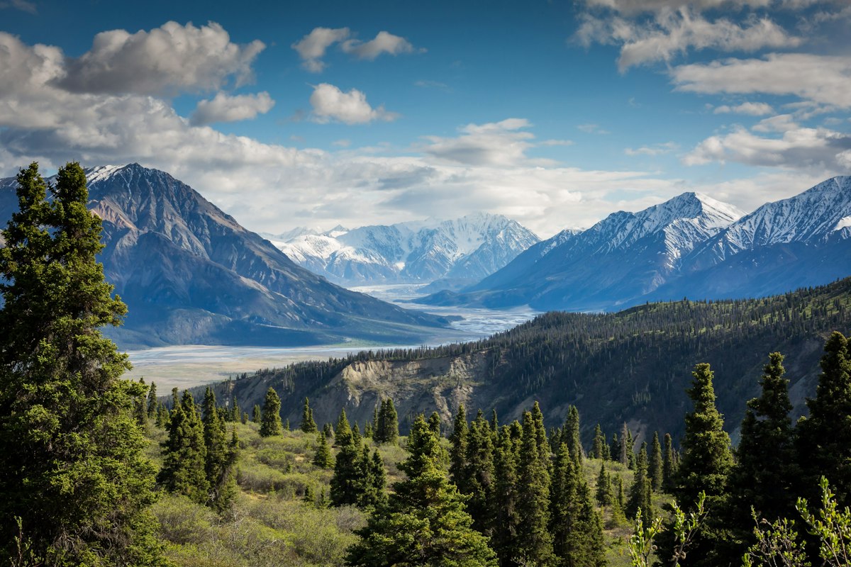

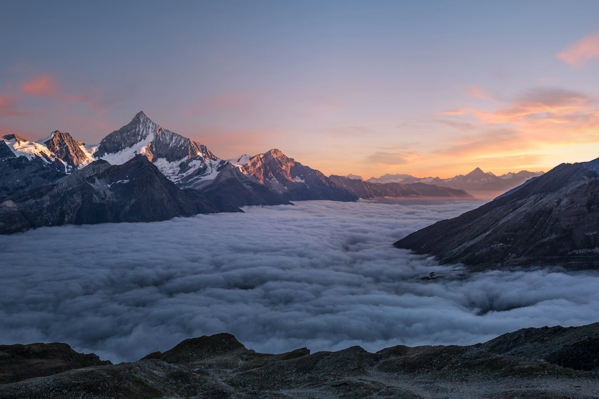
Location Overview
The Laugavegur Trail is located in the Highlands of Iceland, a vast and remote region characterized by volcanic landscapes, glacial rivers, and geothermal activity. The trail begins in the colorful hills of Landmannalaugar and ends at the Thorsmork valley, passing through some of the most dramatic and diverse landscapes in Iceland.
Key Points of Interest
1. Landmannalaugar Hot Springs - A natural hot spring where hikers can relax and enjoy the warm waters. 2. Ljotipollur - A striking crater lake with a deep blue color. 3. Emstrur - A vast desert landscape with unique rock formations. 4. Hrafntinnusker - A rhyolite mountain with stunning views of the surrounding area. 5. Thorsmork - The endpoint of the trail, a lush valley with dense forests and waterfalls.
Route Waypoints
- Ljotipollur: A stunning crater lake with a deep blue color, surrounded by red and brown rhyolite hills.
- Hrafntinnusker: A panoramic view from the rhyolite mountain, offering a 360-degree vista of the Highlands.
- Emstrur Desert: A vast, barren desert landscape with unique rock formations and a lunar-like appearance.
Getting to the Start
The start of the Laugavegur Trail is located near the coordinates 64.0282, -19.0578. The nearest town is Kirkjubaejarklaustur, about 120 km away. From there, you can take a 4x4 vehicle or a specialized tour bus to reach the trailhead. There is a designated parking area at the start point. Public transport is limited, so a private vehicle or guided tour is recommended.
Tips, Safety & Travel
Essential kit for the Laugavegur Trail includes sturdy hiking boots, waterproof clothing, a map, and plenty of food and water. The best season to hike is from June to September when the weather is more stable. Always check the weather forecast before setting out, and inform someone of your plans. In case of an emergency, the Icelandic Search and Rescue (ICE-SAR) can be contacted at 112. It’s also advisable to carry a satellite phone or personal locator beacon, as mobile coverage is limited in the Highlands.
Wildlife & Nature Highlights
The Laugavegur Trail is home to a variety of flora and fauna. Keep an eye out for the hardy Arctic plants that thrive in the volcanic soil, such as the vibrant mosses and lichens. Wildlife is less common due to the harsh environment, but you might spot ptarmigans, Arctic foxes, and a variety of birds. The geothermal areas are also a highlight, with bubbling mud pots and steaming vents.
Tags
- hiking
- Iceland
- Laugavegur
- Highlands
- hot springs